Akyurt
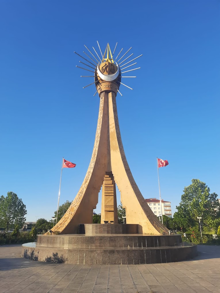
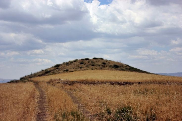
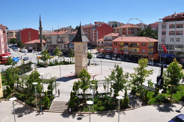
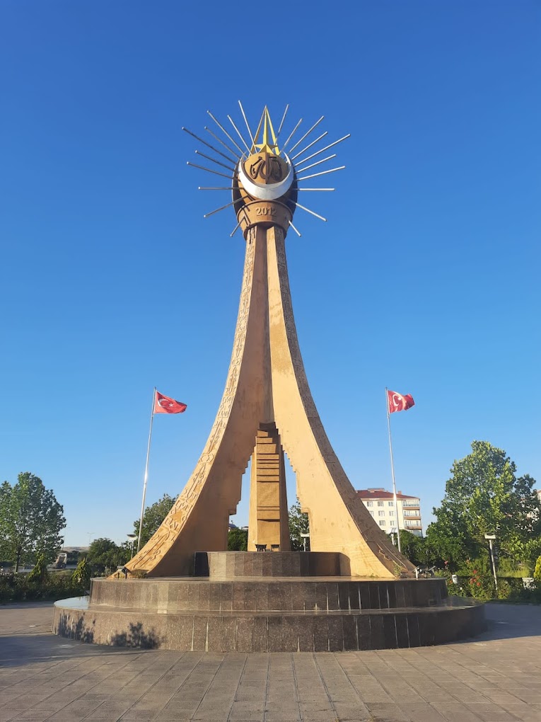
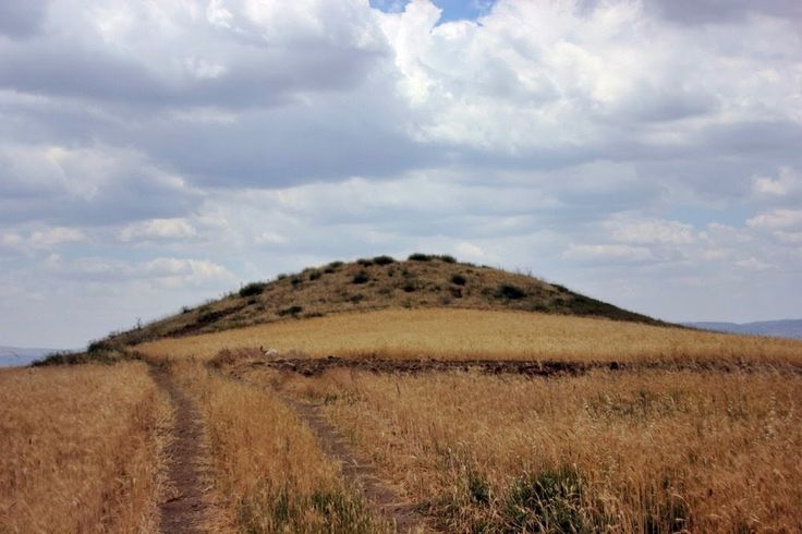
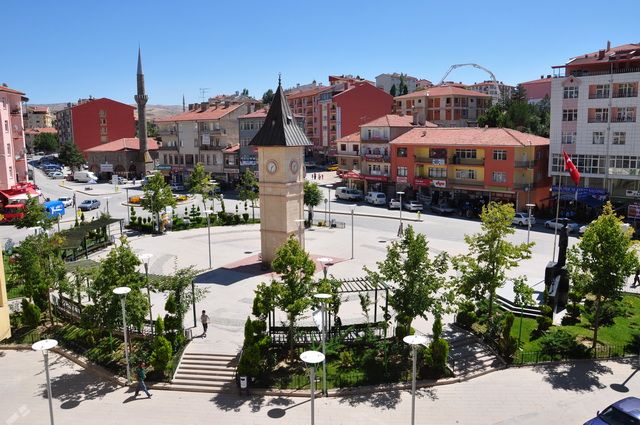
Akyurt is one of the districts of Ankara province. Akyurt; It is a district established on a wide and smooth land within the borders of Ankara in the Central Anatolia Region. Its old name was Ravlı. There are Çubuk districts in the north of the district, Kalecik districts in the east, Pursaklar districts in the west, and Elmadağ districts in the southwest. The district center is on the State highway connecting Çankırı, Kastamonu and Sinop to Ankara, and its distance to the capital is 32 km. While it was previously a town of Çubuk district, with the council of ministers on 20.05.1990, 15 villages from Çubuk were separated from Kalecik and became a district. Its surface area is 258 km² and its altitude is 960 meters above sea level. There is Tekebeli Mountain (1250 m) on the road connecting to Kalecik in the north of the district, Hüseyin Gazi Hill (1415 m) in the south, and İdris Mountain (1985 m) in the east. Akyurt, which had large forested areas until the end of the 14th century, lost much of its forested areas as a result of the massacres carried out over the centuries and the fuel needs of Ankara's baths were met. On the other hand, in recent years, our municipality has started re-greening and afforestation works in the district center with the efforts of the schools and students in our district, and for this purpose, a Memorial Forest has been established and afforestation efforts and efforts to spread the love of trees continue. Approximately 30 thousand people are employed with around 390 industrial establishments operating in the region.




Leave Your Comments