Çilimli
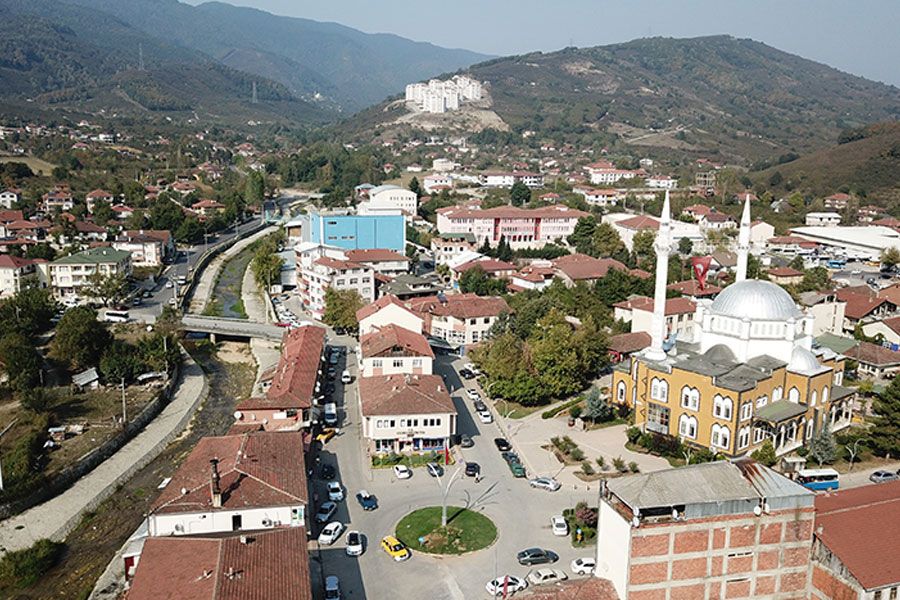
Çilimli is a district of Düzce. After the Seljuk State collapsed with the Mongol invasion, 26 Turkish Principalities were established in Anatolia. One of these principalities, the Ottoman Principality, located in the Söğüt region, bordered the Byzantines. Over time, this Principality began to expand its territory beyond its borders. Konuralp Bey, one of the commanders of his son Orhan Gazi, who succeeded him after Osman Gazi, brought Konuralp and the surrounding Çilimli under Turkish rule as a result of the wars he fought with the Byzantine tekfurs. It is widely said among the people that the mines extracted in Gümüşova during the Ottoman-Byzantine period were processed and that it was the mint of the time, hence its name, and that the word "Çil'mi" changed to "Çilimli" over time. Çilimli, which was a village in Göynük Town of Bolu Governorship in Kastamonu Province until 1869, was connected to Düzce after Düzce became a district. Municipal organization was established in 1957. Çilimli became a township in 1958 and a district in 1990. Çilimli was connected to Düzce as Düzce became a province in December 1999. Çilimli's altitude above sea level is 120 meters. As you move north, the altitude increases and in some places it can reach 600-700 meters. The district's surface area is 7,022 hectares. As you move south from the city center, the land becomes a plain. Akdere Stream, which is formed by the merger of Bıçkı Stream and Bayramali Stream, originating from the Kaplandede Mountains, passes through the district center. Çilimli is on the 1st degree earthquake zone. The average annual temperature of the district is 13.7 degrees. The average rainfall amount is 845 kg per square meter. The district has a humid and rainy climate. The fog layer seen in Düzce Plain, especially in winter months, is not seen in Çilimli and its surroundings, so it is an ideal location as a settlement area. As Çilimli is a district, there has been a partial dynamism in construction, but a decrease in the population rate is observed due to the location of the district, not being on the route of large settlement centers, being close to Düzce, and the majority of the people being in contact with Düzce.






Leave Your Comments