Cumayeri
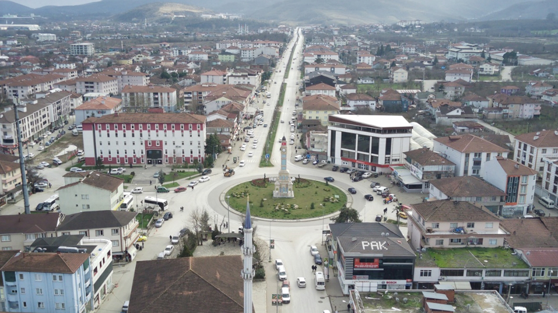
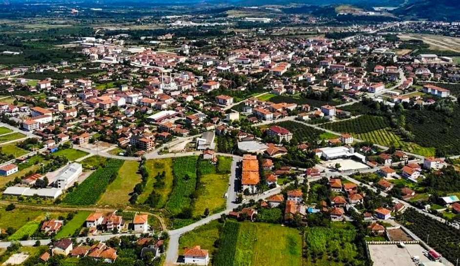
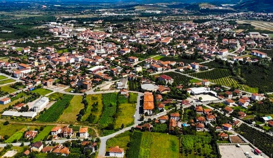
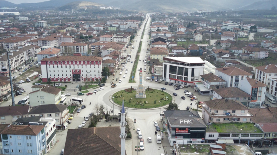
Cumayeri is a district of Düzce. As a result of the merging of Çevrik and Yeniyaka villages on March 29, 1968, a town municipality named "Cumayeri" was established. Cumayeri merged with Gümüşova town on July 4, 1987 and gained district status under the name Cumaova. In December 1993, the name of the district, which was Cumaova, was changed to Cumayeri and it was separated from Gümüşova and became an independent district in the province of Bolu. Cumayeri was connected to Düzce when Düzce became a province in December 1999. Located in the northwest of Düzce, the district borders Sakarya province in the west, Akçakoca district in the north, Çilimli district in the east and Gümüşova district in the south. The surface area of Cumayeri is 10,011 hectares. The district constitutes the border of the strip extending parallel to the coast of the Western Black Sea mountains. 5,619 hectares of the district's land consists of hazelnut gardens, 214 hectares of field land, 163 hectares of pasture land, 3,520 of it forest areas and 200 of it other lands. Accordingly, 55% is orchard land, 3% is field land, 3% is pasture, 34% is forest, 2% is other and 3% is unsuitable land.




Leave Your Comments