Dalaman
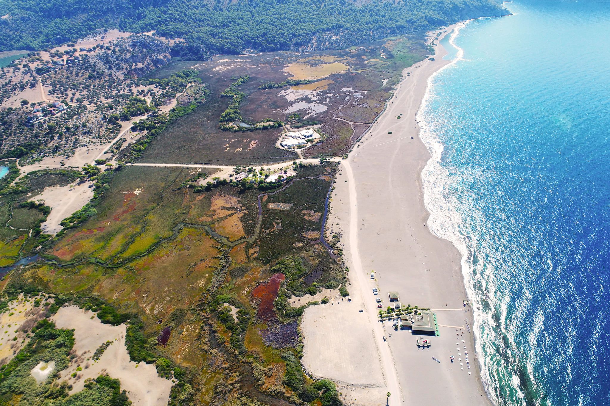
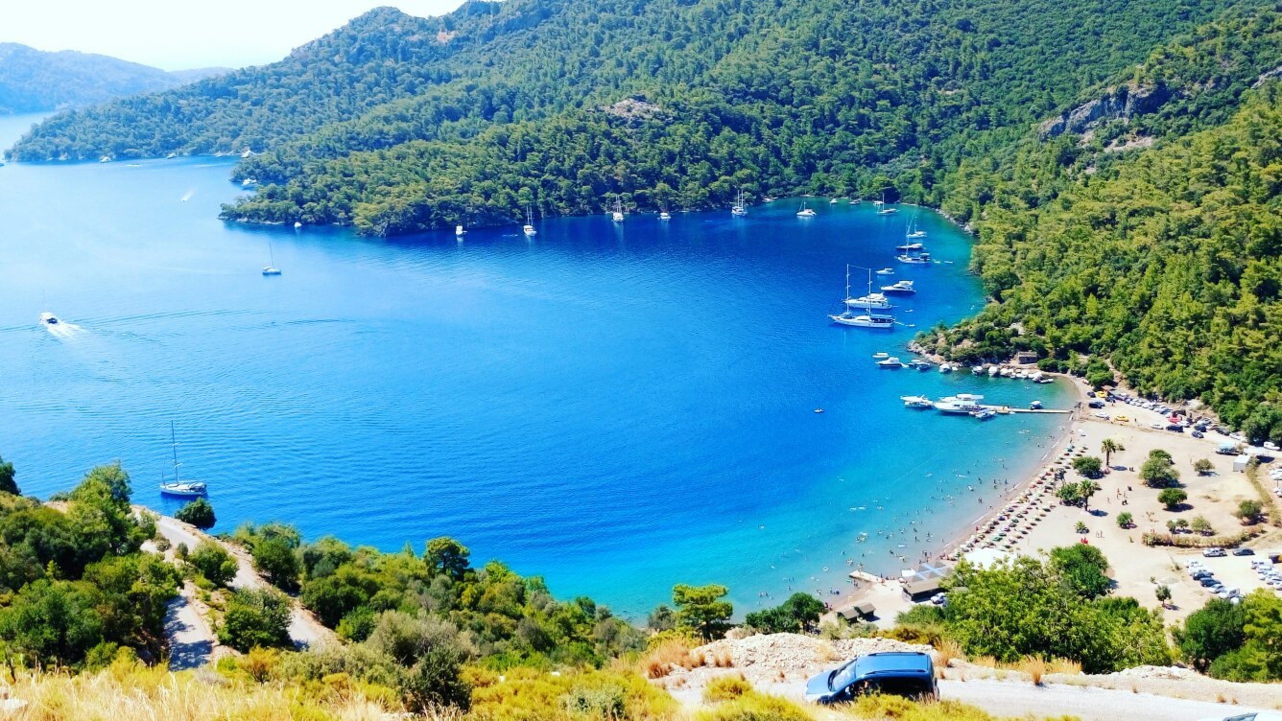
Dalaman Airport is within the borders of this district. After Ortaca was turned into a district, there was no town left. It has 26 neighborhoods. Dalaman, a district of Muğla province in the Mediterranean Region, is located between Köyceğiz, Ortaca and Fethiye districts of the same province and Çameli district of Denizli province. The eastern, northern and western parts are mountainous, and the south is plain. The district's lands are rugged by the Shadowy Mountains (2,295 m.) and Boncuk Mountain (2,265 m.). The foothills of these mountains, which extend parallel to the Gulf of Fethiye, are covered with leafy forests, and the higher parts are covered with coniferous forests. Dalaman Plain is the most productive plain of Muğla province and is among the most productive plains of Turkey and the world. The district lands are irrigated by Dalaman Stream, and it is located at the transition point of the Mediterranean and Aegean Regions. Originating from Kocaş Mountain near Dirmil, Dalaman Stream is located between Marmaris and Fethiye. Its total length is 229 km. The stream, which grows from the merger of the branches descending from the Göktepe and Yaylacık Mountains of the Western Taurus Mountains, flows in a narrow and deep valley, 8 km from Ortaca. It flows into the sea from the south. Its height above sea level is 15 m. Its surface area is 61,694 hectares. The population of Dalaman is 42,024 people according to 2019.[3] In addition, Turkey's 6th largest dam, Akköprü Dam and Hydroelectric Power Plant, is located within the borders of Dalaman district.


Leave Your Comments