Derinkuyu
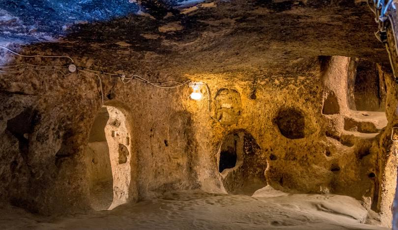
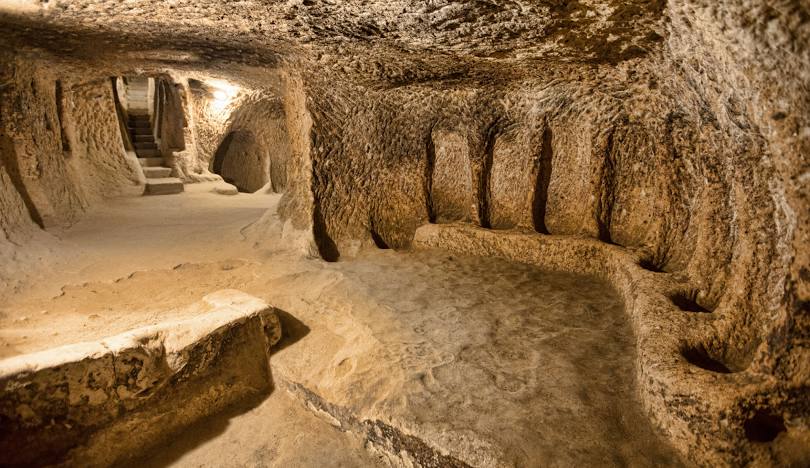
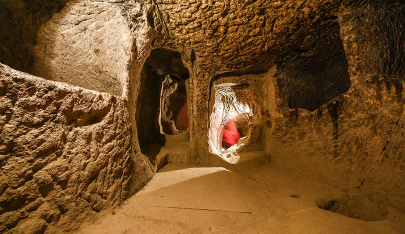
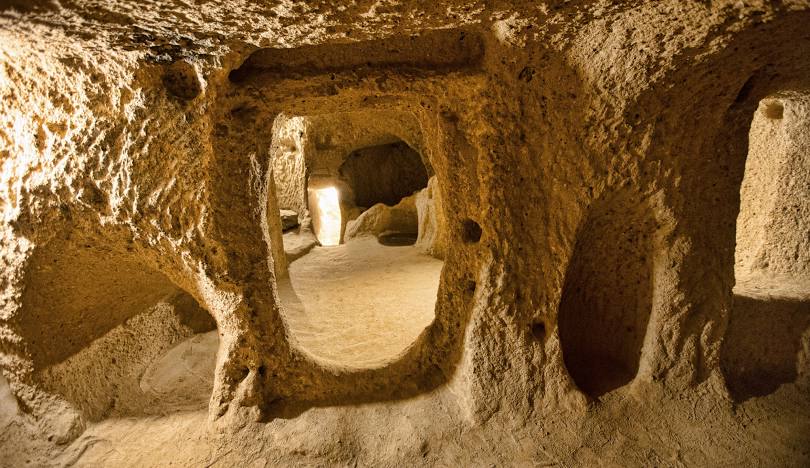
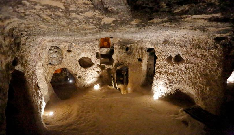
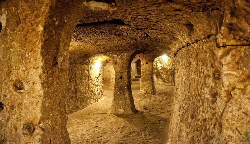
Derinkuyu is a district of Nevşehir province. Although its exact date is not known, it is estimated that the district is an old settlement and its history dates back to 3000 BC. The old name of the district is Malakopi. The first inhabitants of Derinkuyu date back to Assyrian colonies. There are ruins from the Roman and Byzantine periods in the district. The district is located in the Cappadocia region. Turks started to arrive after the Battle of Manzikert in 1071, and settled in the Çekme, Kızılören, Şemşili, Bölören, Topaleyüp and Melizlik plateaus in the east of the district and tried to make a living from animal husbandry. The current name of the district, "Derinkuyu", was given because the people get their drinking water from wells 60-70 meters deep. Derinkuyu underground city, the largest underground city of Cappadocia's 36 underground cities, was opened to tourism in 1967 and has 8 floors. It is known that the Hagia Maryeros Underground Monastery, dating from the Byzantine period in Derinkuyu District, was the first place in the world used as a mental hospital. There are St. Theodoros Trion Church (Üzümlü Church) and the Archangels Church in the district, dating back to the Ottoman period. The Church of the Archangels was later closed for worship in 1924. In 1949, it was purchased by Derinkuyulu Tahsin Ertaş and donated to the Presidency of Religious Affairs and converted into a mosque. Today, it is used as Derinkuyu Republic Mosque. Niğde in the south of Derinkuyu district, located in the south of Nevşehir province; Kayseri, Yeşilhisar in the east; Ürgüp in the northeast; Acıgöl in the northwest; Nevşehir in the north; Aksaray province is located in the west. Located on the Niğde-Nevşehir highway, the district is 30 km from Nevşehir, 50 km from Niğde, 110 km from Kayseri and 80 km from Aksaray, and the district has a direct highway connection to all of these provinces. The district's surface area is 445 km² and its altitude is 1,300 meters. District; It is located in the Misli Plain, which is in the form of a volcanic bowl between Erciyes, Hasan Mountain and Melendiz Mountains. The soil is sandy and the effects of erosion due to the end of volcanic activities and rain and wind are quite strong. The land is generally flat and there are no forest areas. There are extensive underground water resources in the district, which has no streams or lakes. The vegetation is a steppe consisting of thin grasses that bloom with spring rains and dry out in mid-summer. Hakkı Atamulu Culture Park, one of Turkey's most interesting groves and artistic parks, is also located here. There is a huge Ataturk statue. Tourism is developing, agriculture and animal husbandry are the most important sources of income.



Leave Your Comments