Durağan
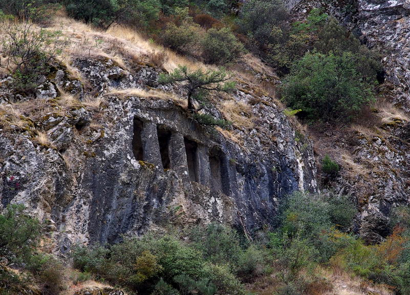
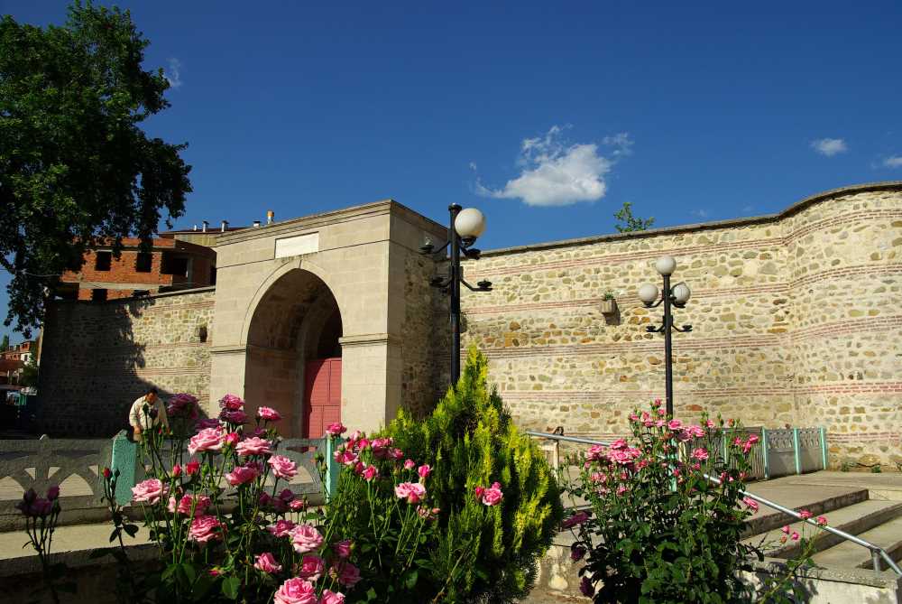
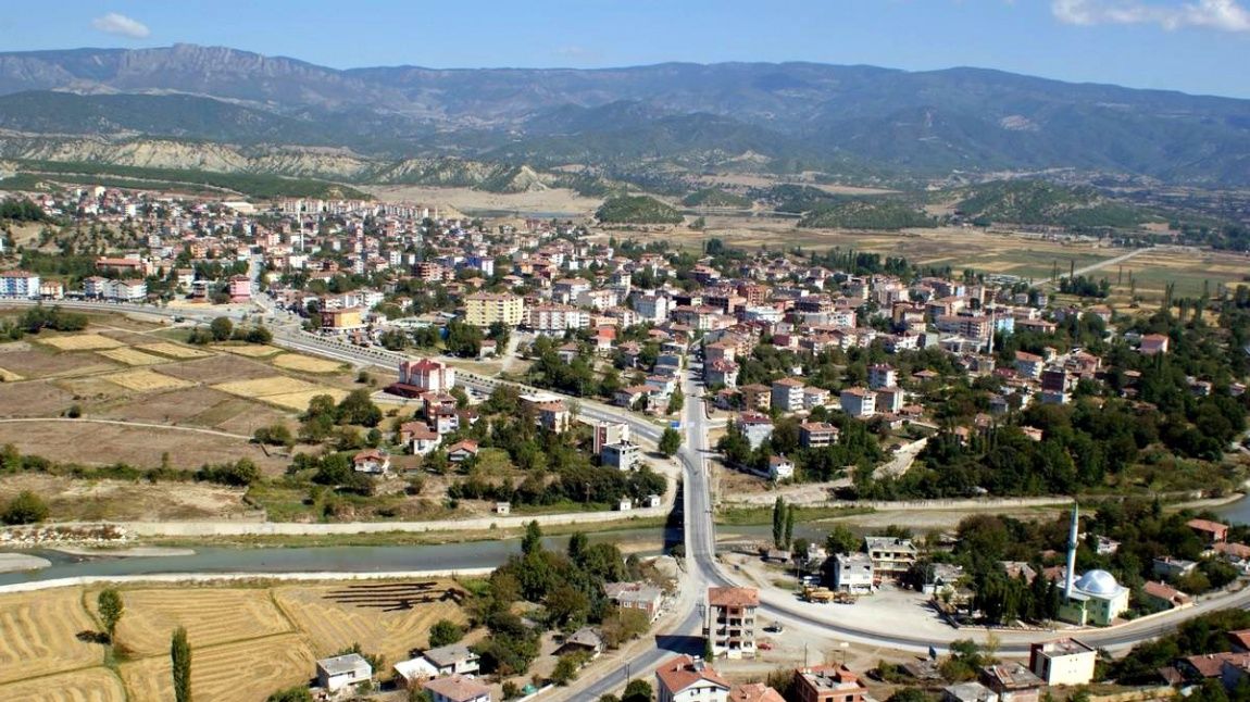
Durağan is a district of Sinop province. Stable. It is a district established at the confluence of Anatolia's largest river, Kızılırmak, and the Black Sea Region's largest river, Gökırmak. The district, which has one of the largest and most productive paddy plains in Turkey, has hosted three paddy festivals to date. In addition, the city is located on the old silk road and has the historical "Durak Han", from which the name of the city came over time. Durağan, located in the southeast of Sinop, on the border of Samsun province; It is adjacent to Dikmen, Boyabat and Saraydüzü districts. During the Ottoman period, the settlement connected to Kastamonu was a sub-district center of Boyabat in 1899, and was connected to Sinop as a district in 1954. There is no town affiliated with the district; The number of affiliated villages is 70. Within the borders of the district, which was established in the Gökırmak Valley, on the roads connecting Central Anatolia to the Black Sea, in the Kızılırmak basin, II. and IV. Although there are Class VII fertile agricultural lands throughout the district. and VIII. grade agricultural lands predominate. The mountainous areas of the district are classified as II. specified in the Agriculture Master Plan. lower region; The plain areas are classified as III. It remains in areas defined as sub-regions. The most important product grown in irrigated agricultural areas in the district is paddy. Grain cultivation is done in dry farming areas. According to the 2020 Address-Based Population Registration System, the district population is 17,861 people, of which 7,947 are urban and 9,914 are rural population. The district has a low urbanization rate, with an urban population rate of 44.49%. The district population has shown a decreasing trend since 1980.


Leave Your Comments