Eskil
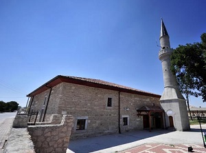
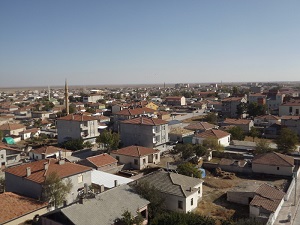
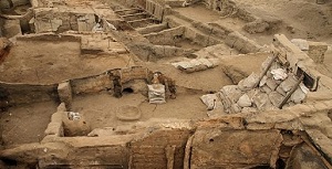
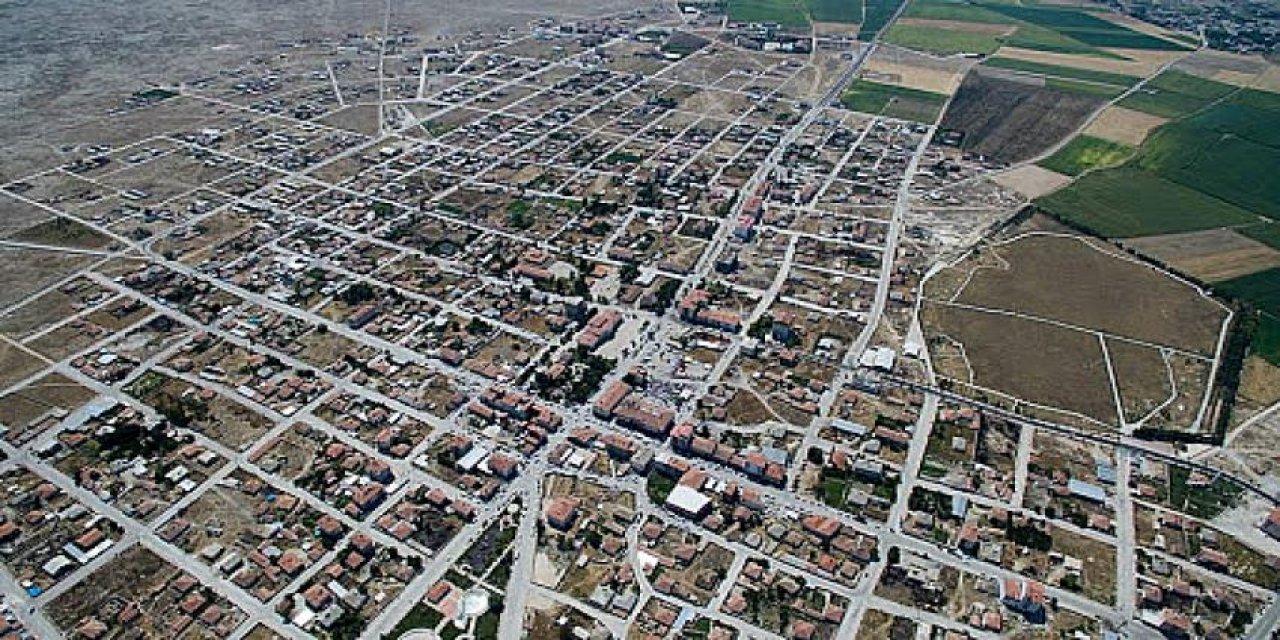
Eskil is a district of Aksaray province. The first place where Eskil, which is referred to as "Old Province" in old sources, is today known as Gavuröreni and is located in the north of the district, near Tuz Lake. With the Anatolian Seljuk domination, Sultan II. Turkish tribes were settled in Eskil and its surroundings by Kılıçarslan and the region was Turkified. During the Ottoman period, the centrality of Eskil to the Esk-Kâlen Districts group connected to the Eyalman Province is stated in the Presidency Ottoman Avekaleilayşivi Provincial Writings book. Historical ruins can be found in Eskil, which has large settlements. There are mounds in Böğet Village, Ortakuyu, Köşk, Hüyüklü, Mutlu, Çulfa, Sağsak and Tosun Plateaus and architectural remains are found. Theater ruins from the Byzantines have survived to the present day on the Ortakuyu plateau. Stone-paved parts of the historical road, known as the Baghdad road, can also be found in the Bayramdün area. In the center of Eskil, there is the Great Mosque dating back to the Seljuk Dynasty. Eskil gained town status in 1929 and Eskil Municipality was established on the same date. [citation needed] While there were Karakol, Taşkapı and Taşkesik neighborhoods until 1989, the number of neighborhoods was increased to 11 on this date, including Merkez (5 Plateaus), Karşıyaka (2 Plateaus), Cumhuriyet (Turkey) 9 Plateaus), Mimar Sinan (3 Plateaus), Fatih (11 Plateaus), Mithatpaşa (7 Plateaus), Zafer (5 Plateaus), Fevzi Çakmak (7 Plateaus), Yıldırım (10 Plateaus), Hürriyet (8 Plateaus), İstiklal ( 10 Plateaus) was arranged as follows. Eşmekaya Municipality of the district was established in 1971. It consists of 4 neighborhoods: Cami-i Kebir (4 Plateaus), Yenimahalle (4 Plateaus), Kayacık (3 Plateaus), Yeşilyurt (6 Plateaus). Eskil was granted district status by law no. 3644 dated 09.05.1990. There is 1 town and 8 villages in the district. Central District Municipality covers approximately 2/3 of the total district surface area. There are 11 neighborhoods connected to the center. Merkez, Karşıyaka, Cumhuriyet, Mimar Sinan, Fatih, Mithat Paşa, Zafer, Fevzi Çakmak, Yıldırım, Hürriyet and İstiklal neighborhoods. Eşmekaya Municipality of the district was established in 1971. It consists of 4 neighborhoods: Camiikebir, Yeşilyurt, Yeni Mahalle and Kayacık. There are 14 plateaus connected to these neighborhoods. There are 8 villages in Eskil District. Böğet, Başaran, Güneşli, Bayramdükün, Celil, Çukuryurt, Katrancı and Sağsak. There are 14 plateaus connected to these villages.



Leave Your Comments