Espiye
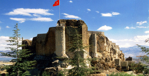
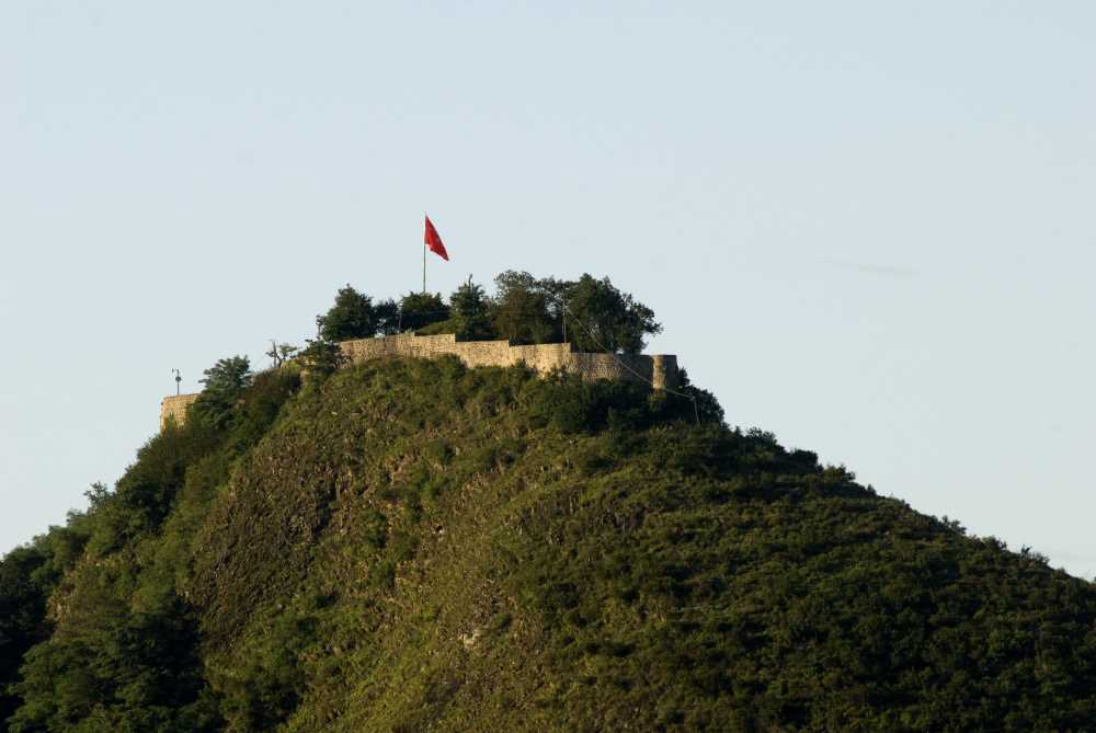
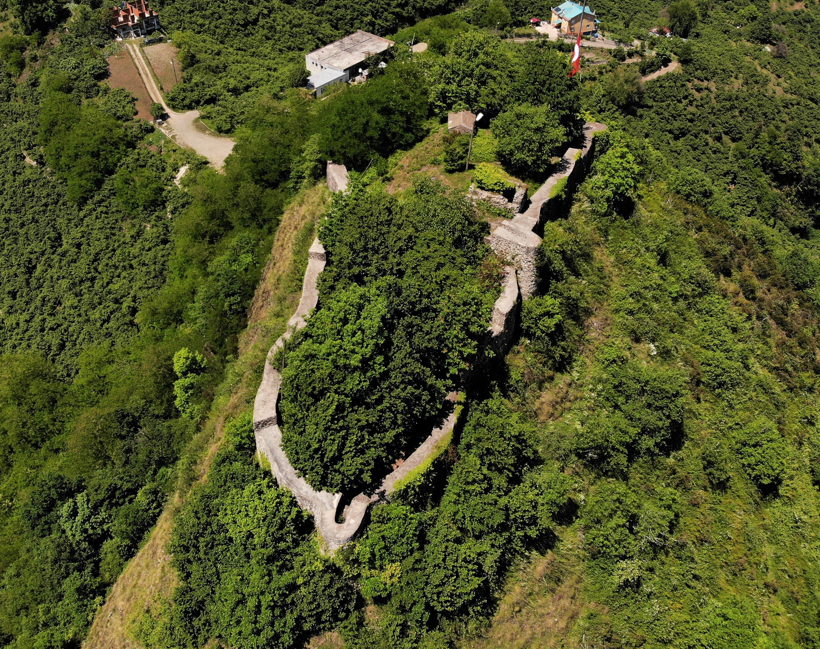
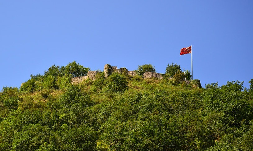
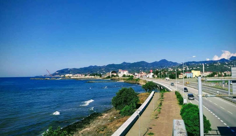
Espiye is a district of Giresun province. "Espiye" and its old spelling "Esbüyeli" are the Turkish names of the district. Espiye is derived from the Persian word "Esb" meaning "horse" and the Turkish suffixes "-yeli" and "-yelü" meaning "from there" or "from there" or possibly "yalı" meaning "beach" or "waterside". There are two assumptions that it comes from the word ". So Esbüyeli means "land of horses" or alternatively "stables by the water". It is thought to have been founded in the first half of the 13th century, during the Trebizond Empire. However, while the names of both Tirebolu (Tripolis) and Zefre (Zephyrion in Greek) are included in the written texts of the period, there is no information about Espiye. Zefre Port located in the district is an important port of the famous Silk Road. The goods loaded from here were transported to Europe via Romania and Russia by ships. Andos Castle, built by the Genoese or the Trebizond Empire, is on a high hill where Yağlıdere flows into the Black Sea. Chepni people came to the district via Khorasan/Kurdish during the Seljuk period and started to settle. Espiye Chepnis were loyal to Güvenç Abdal, whose tomb is in Güvendi Plateau. II. After joining the Ottoman Empire during the reign of Mehmed II, it was included in the administrative division as Dikmen Melikligi. Espiye, which was previously a township of Tirebolu district, became a district in 1957. Zefre Port of the famous Silk Road is located in the northwest of the district and is the most famous natural port of the Eastern Black Sea, closed to strong winds in ancient times. It bears the characteristics of the geographical structure of the Black Sea Region. For this reason, the land structure is rugged. These hills start right behind the district center and gradually rise. In the east and west of the district, the valleys opened by Yağlıdere and its tributaries and the river beds between the mountains have fragmented the land considerably. Average 230 km². The district has Tirebolu and Güce in the east, Keşap and Yağlıdere in the west, Alucra and Şebinkarahisar districts in the south and the Black Sea in the north.


Leave Your Comments