Eyüpsultan
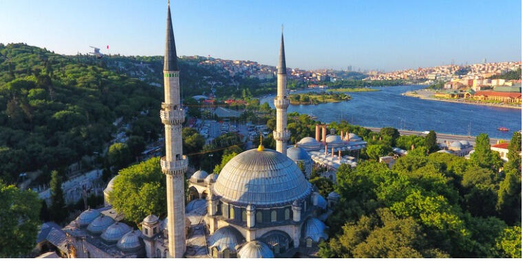
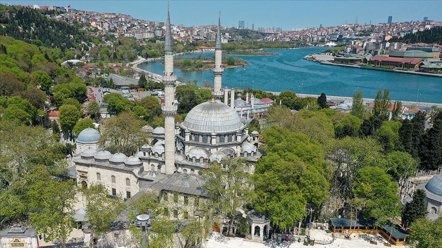
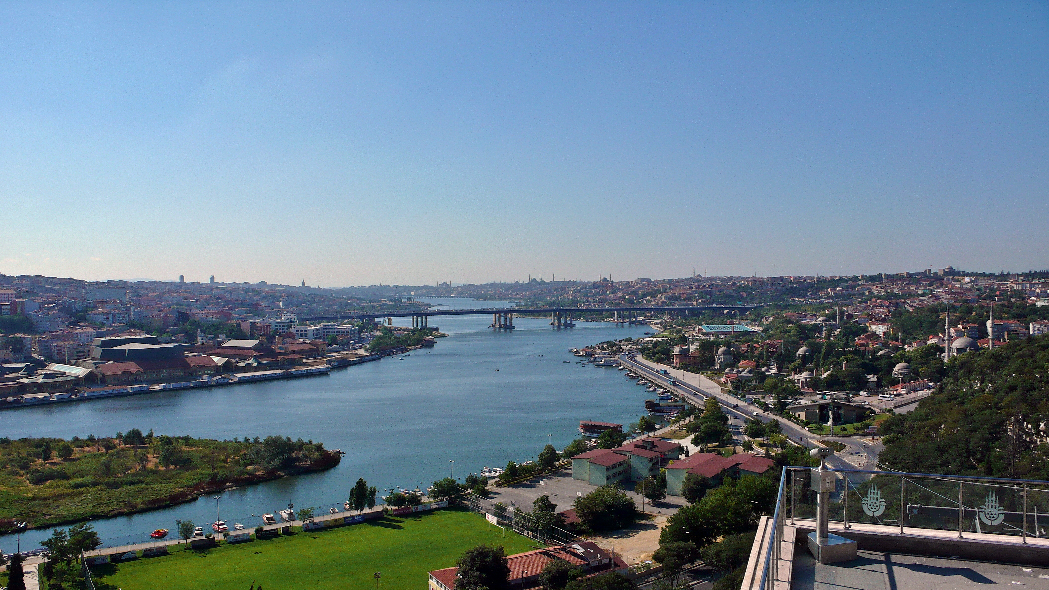
Eyüpsultan, formerly known as Eyüp, is a district located on the European side of Istanbul. The surface area of Eyüpsultan district, which was established in 1936 with parts of Fatih, Beyoğlu and Sarıyer districts, is 242 km². The population of Eyüpsultan district, which has 29 neighborhoods and 7 villages, is 417,360 according to the Address-Based Population Registration System data in 2021. The district has a short coastline in the inner part of the Golden Horn and a long coastline between the villages of Akpınar and Çiftalan on the Black Sea. When it was founded, Eyüpsultan, which included the entire present-day Sultangazi district except Eskihabipler District, as well as Gaziosmanpaşa and Bayrampaşa districts, reached its current borders in 2009 by giving the Yayla district to Sultangazi. Eyüpsultan district is adjacent to Sarıyer in the east, Kağıthane and Beyoğlu in the southeast, Gaziosmanpaşa and Bayrampaşa in the southwest, Zeytinburnu and Fatih in the south, Arnavutköy and Sultangazi in the west, and Başakşehir districts in the southwest.


Leave Your Comments