Gölbaşı (Adıyaman)
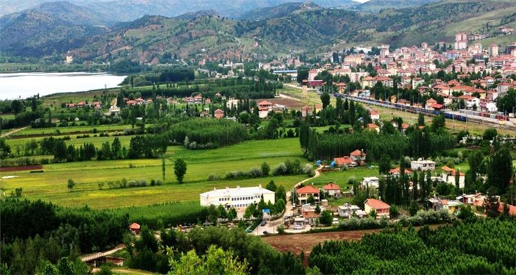
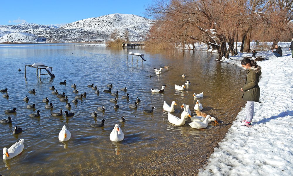
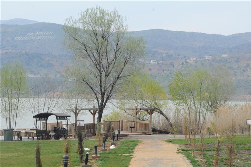
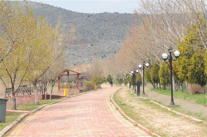
It is located in the west of Adıyaman. It is surrounded by Malatya in the north, Besni and Tut districts in the east, Gaziantep in the south, and Kahramanmaraş in the west. Its height above sea level is around 860 meters. Gölbaşı District is a junction connecting the provinces of Malatya, Adıyaman, Gaziantep and Kahramanmaraş, since it was established on a route through which the State Highway and the DD pass, connecting the Black Sea and Eastern Anatolia Regions to the Mediterranean. In this respect, it is a bridge between east and west. When the Kapıdere Road, which is in the program, is opened, the distance of Şanlıurfa and Southeastern Anatolia Region to Ankara is 183 km. will decrease further. Gölbaşı, which has 30 villages and 3 towns, takes its name from the word Lake Başı. There are a total of 3 lakes, one in the district center and two in the surrounding villages. The facilities for tourism around the lake in the district center, wide forest and green area and Göksu Stream passing by the district increase this attraction. In this respect, it is the promenade area of the region. The GAP Administration has already declared the District as a GAP Recreation Area. Survey works of Çetin Tepe Dam, which is a part of the GAP Project, continue. The water pumped from Göksu Stream and discharged into the lake is given to Gaziantep as drinking water. Gölbaşı, as a village located in the "Karaçalık" location, which was connected to the Besni district until 1958, remained connected to Gaziantep until 1933, and to Malatya province from 1933 to 1954, together with Besni. It became a district in 1958. After Adıyaman became a province in 1954, "Gölbaşı" was made a district in 1958 and connected to Adıyaman province.


Leave Your Comments