Gölköy
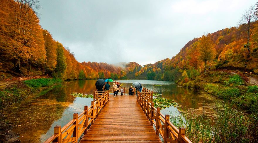
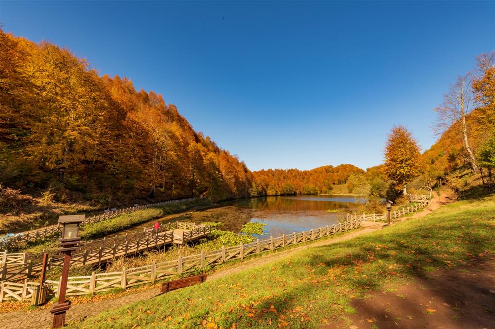
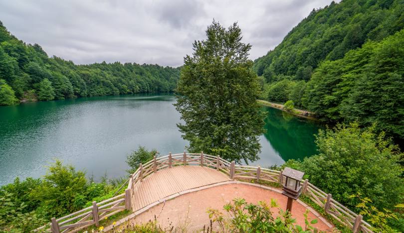
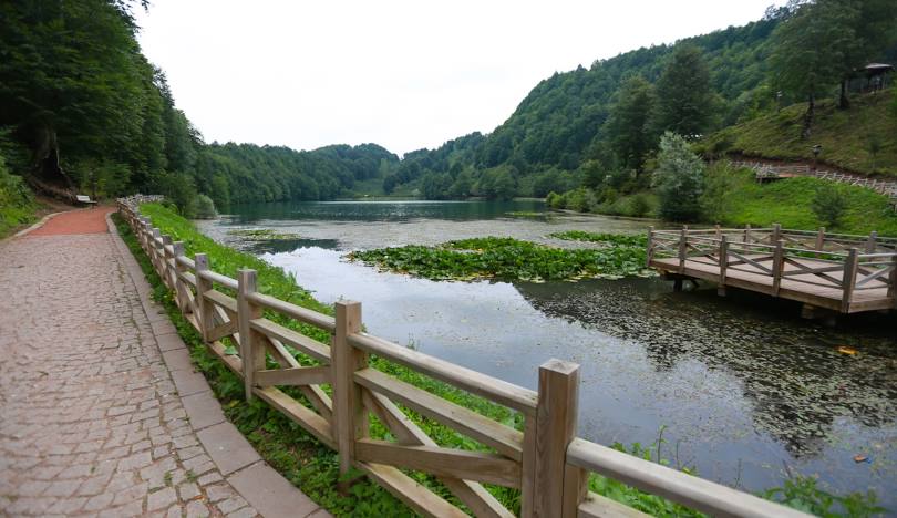
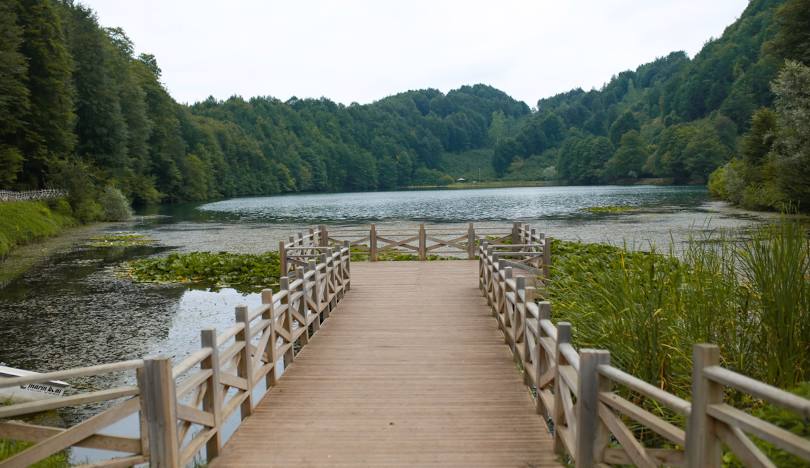
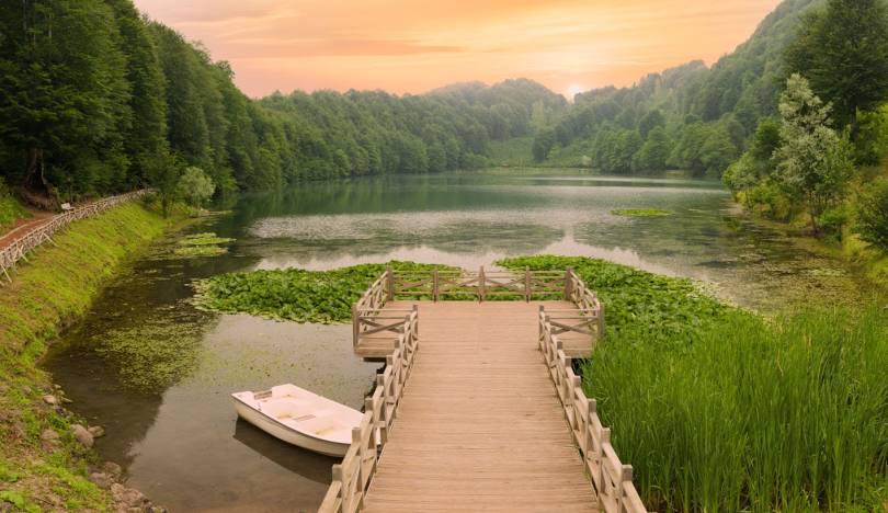
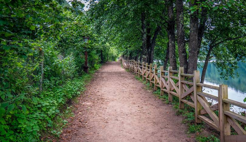
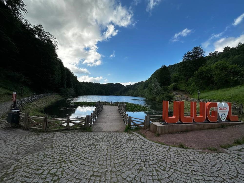
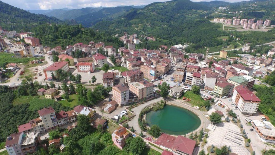
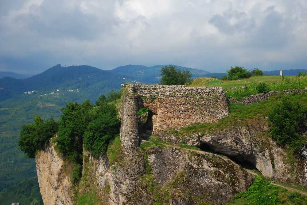
Gölköy is a district of Ordu province. Its surface area is 349 km2. The district center is established on the Ordu-Sivas highway and the distance to Ordu center is 63 km. There are two natural lakes within the district borders: Ulugol and Gök Lake. Ulugöl is the largest natural lake in Ordu province with an area of 30,000 m2. While Ulugöl is 15 km away from the district, Gök Lake is located in the district center. Turkey's longest-lived people live in Gölköy. The average life expectancy in Gölköy district of Ordu is 82 years. The history of the district should be examined together with the history of Ordu province and its region. Tzanik tribes called Tibarens, Khalibs and Mossinoiks, who were determined to be engaged in farming and mining throughout history, lived in the place known as Hapsamana today, Gölköy. With the establishment of the Trebizond Empire in 1204, it came under the rule of local powers. Anatolian Seljuk State; Turkish tribes who came to Anatolia after the Ilkhanid State came under its rule, established their own principalities. One of them is Mesudiye Milas Bey, Hacı Emiroğlu Bayram Bey. The borders of the principality are Fidaverendi Hapsamana, Uluğbeğlü, Bayramlu, Milas and a part of Reşadiye district. Contrary to popular belief, Şıhman Village has never been a town or township. As the main settlement area, both local Christians and Hacı Emiroğulları used the surroundings of today's Kale Village and Çatak Village as the central settlement area. Although there are many records and place names about the region in the cadastral record book dated 1455, it is clearly stated that Hapsamana Castle was used as a base. Hapsamana Castle, which was built in the Byzantine period and used in the Ottoman period as well, and historical tombs, carved structures, caves in Çatak Village, as well as natural wonders such as Geyik Rock, Evlek Field, Pennecük Hill and the historical bath, also within the borders of Çatak Village, are among the places worth visiting in the district. comes first. Recently, many villages of the district, especially Çatak Village, Cihadiye Village and Ulugöl, have been flooded by natural landscape enthusiasts. It is located in the Central Black Sea. Ordu is surrounded by the Black Sea in the north, Giresun in the east, Samsun in the west, and Sivas and Tokat provinces in the south. Its location is between 40-41 degrees north parallels and 37-38 degrees east meridians. It is a province with lands in the Central and Eastern Black Sea regions. Its surface area is 5963 km2. A typical Black Sea climate prevails in Ordu. Winters are cool and summers are warm. There is rainfall in almost all months of the year. Although it generally has a temperate climate, it shows two different climate characteristics, marine and terrestrial, due to its geographical structure. A transitional climate is observed between the coast and the mountains that extend like a wall parallel to the coast. According to measurements, the coldest months are January-February. During these months, the lowest temperature drops below zero and is around 6-7 degrees. The coldest month in inland regions is January. The lowest temperature in this month drops to -7 degrees. The hottest months in the coastal part are July and August. Here, the transition from winter to spring and especially summer occurs slowly. Autumn is warm and lasts until mid-winter. The temperature drops inland. Temperatures in January and February do not fall below zero on the coastline. As you rise, the temperature decreases: it drops to 1-2 degrees in Ulubey, 4 degrees in Gölköy and Mesudiye, and -8 degrees in Aybastı and its surroundings. When it comes to precipitation, the coastline is the rainiest part. There is more rainfall in autumn. Since the rains that fall in July are torrential, they have a flood character. It overflows from large river beds and causes great damage to the coast. Snowfall is very little on the coasts and lasts a short time. But in the inner regions, snowfall is intense and the winter season lasts long. The most dominant wind in Ordu is the southerly wind. Breeze winds continue in the south-east direction from the sea to the land in the summer months until the afternoon. After the afternoon, it starts to blow in the opposite direction and continues throughout the night. Although rare in the region, it blows in winds that create a very hot air current called qibla, lodos, monkishlama. When they blow in mid-summer, they cause great damage to the hazelnut crop.


Leave Your Comments