Hasköy
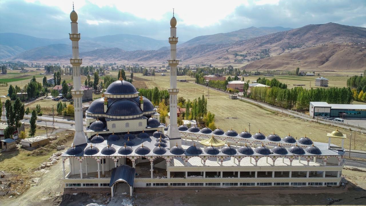
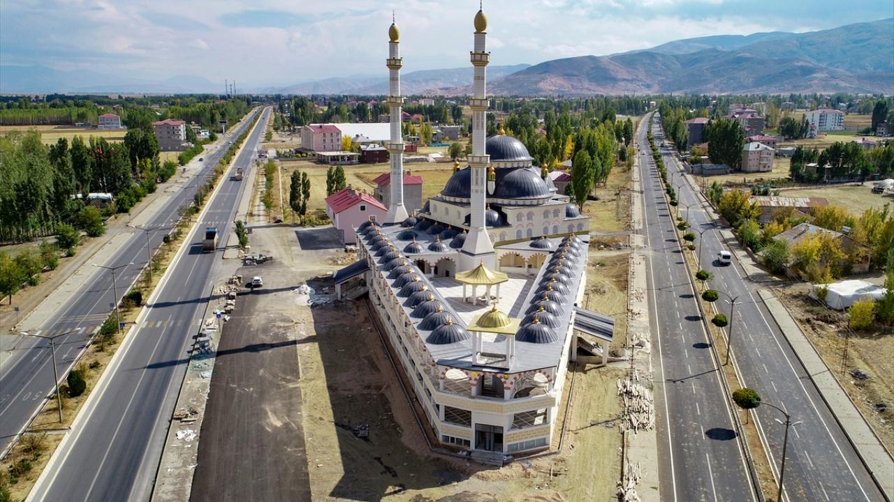
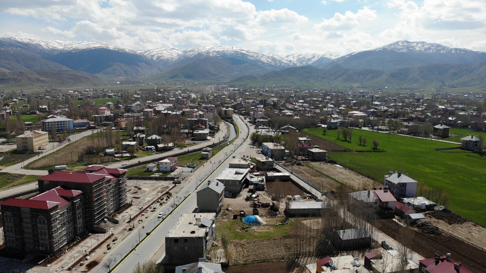
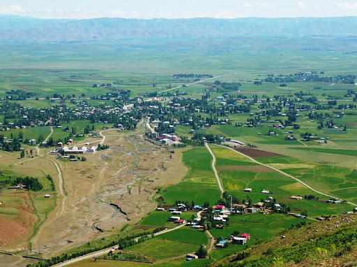
The history of Hasköy district dates back to the Byzantine period. After the Battle of Manzikert in 1071, most of the district's population consists of Arabs who migrated from Basra, came via Sason and Mutki districts and settled in the district. According to ancient history, the people of the region are also known as field soldiers. After the Battle of Manzikert, they protected these regions where they lived in Anatolia from the Crusades throughout history. The name of this district, whose pronunciation was distorted in Armenian, Derhas (that is, Has Church), was changed to Hasköy after the Republic and is used as Hasköy today. The people of Hasköy, the district where the Bidri Tribe, descendants of Seyid Ali, generally live, continue to speak and preserve Upper Northern Arabic today. The Bidri Tribe, which is a descendant of Sofi Garzan Beleki, has continued its services to Islam throughout history, with its services and trust in Islam in the region of Sason, where Sultan Selim I of the Ottoman Empire established his tent before the Battle of Chaldiran on 15 August 1514. Countries that mobilized Armenian gangs to disintegrate the Ottoman lands were not successful, thanks to the Bidri Tribe, but they still protect Islam and the state today. It is surrounded by the borders of Muş in the west and northwest, Korkut district in the northeast, and Bitlis province in the east and south. It is the smallest district of the province in terms of surface area. The average altitude of the district above sea level is around 1400 meters. Since the south of the district has a rugged area, the average altitude in this part is up to 1850 meters. In the north of the district, Otluk and Karaçavuş Mountains lie in the northwest-southeast direction within the borders of Korkut district. The Muş plain, which covers a large part of the district area, is located between these two elevations. The most important river of Hasköy district is the Karasu River. Karasu River, which enters the district borders from the south of Sazlıkbaşı village, flows towards the southeast direction and leaves the district borders in the west of Düzkışla town. In addition, the Değirmen stream passing through the district flows into the Karasu river. The summit parts of Otluk and Karaçavuş Mountains are forested, and this part and the valley floors extending towards the plain provide cover. The climate has the continental climate characteristics of Eastern Anatolia. Winters are very cold and snowy, and summers are hot and dry.


Leave Your Comments