İpsala
Ipsala is a district of Edirne province in the Thrace part of the Marmara Region, with a surface area of 753 km². It is surrounded by Greece to the west, Meriç to the northwest, Uzunköprü to the northeast, Keşan to the east and south, and Enez to the southwest.
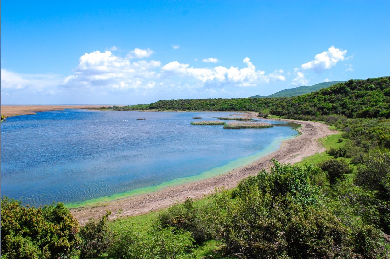
Located in the southwest of Edirne, İpsala shows a natural structure consisting of low hills and rugged, undulating plains. The northern and eastern parts are covered by elevations ranging between 100 and 300 meters, and the western part is covered by the Ipsala Plain, which forms part of the Lower Meriç Plain. Irrigated by the Meriç River and its tributaries and frequently flooded, the plain was turned into one of the largest and most productive agricultural areas of the province with the embankments built along the Meriç River in the 1960s. Meriç River in the west and Ergene River in the northwest draw the natural border of the district. A part of the lake area of Altınyazı Dam, which was established for irrigation and flood prevention on Basamaklar Stream, one of the tributaries of Ergene River, Yeni Karpuzlu Pond and Sultanköy Dam are also within the borders of the district.
The climate draws attention with the temperature differences between summer and winter, day and night. Terrestrial climate prevails. Precipitation is collected in winter and spring. Humidity is high in summer due to paddy cultivation.


Leave Your Comments