Kağızman
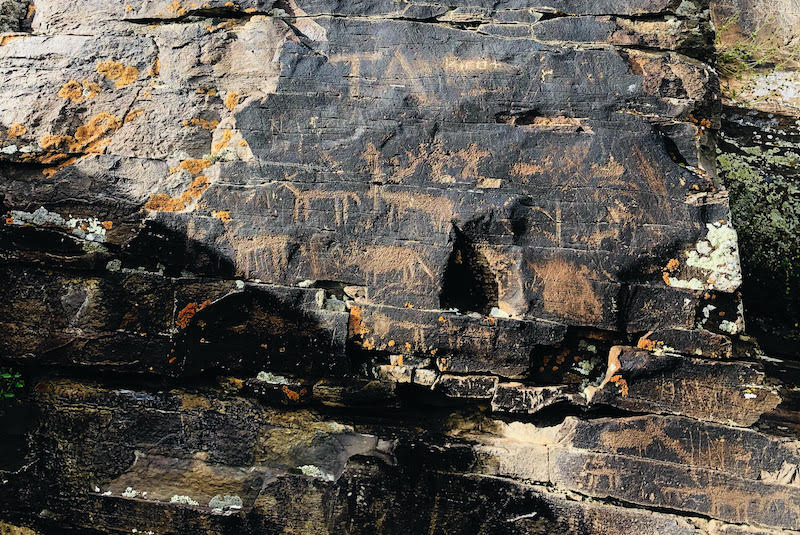
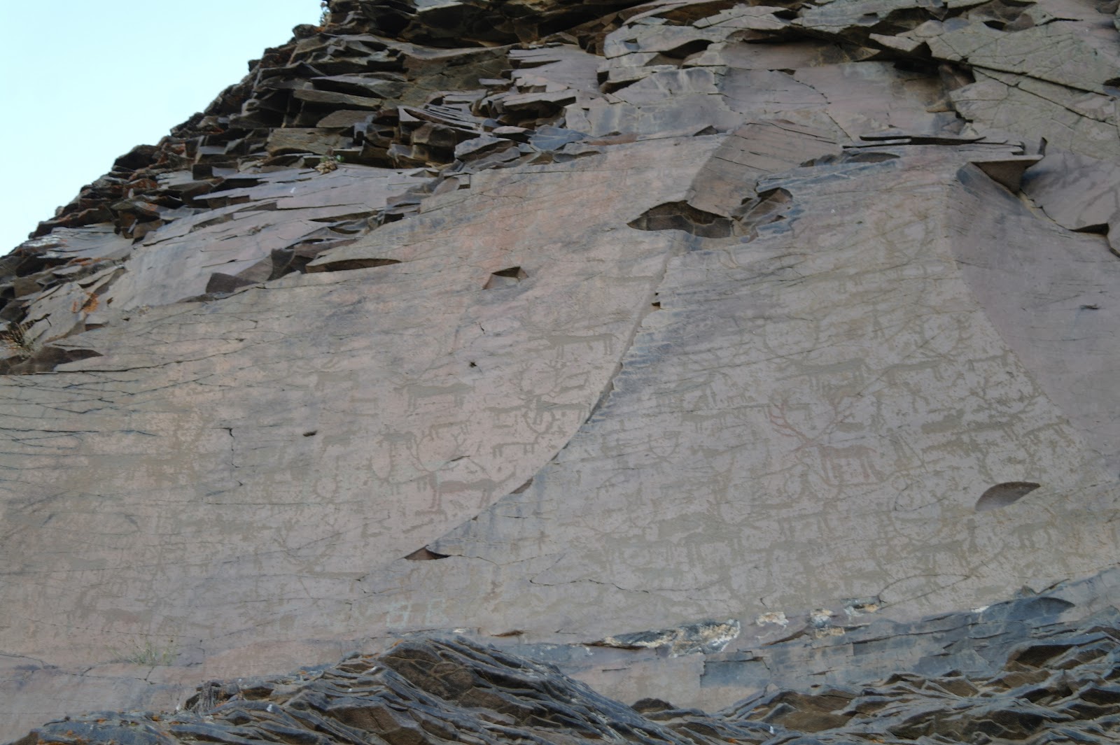
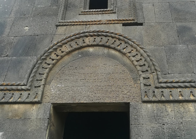
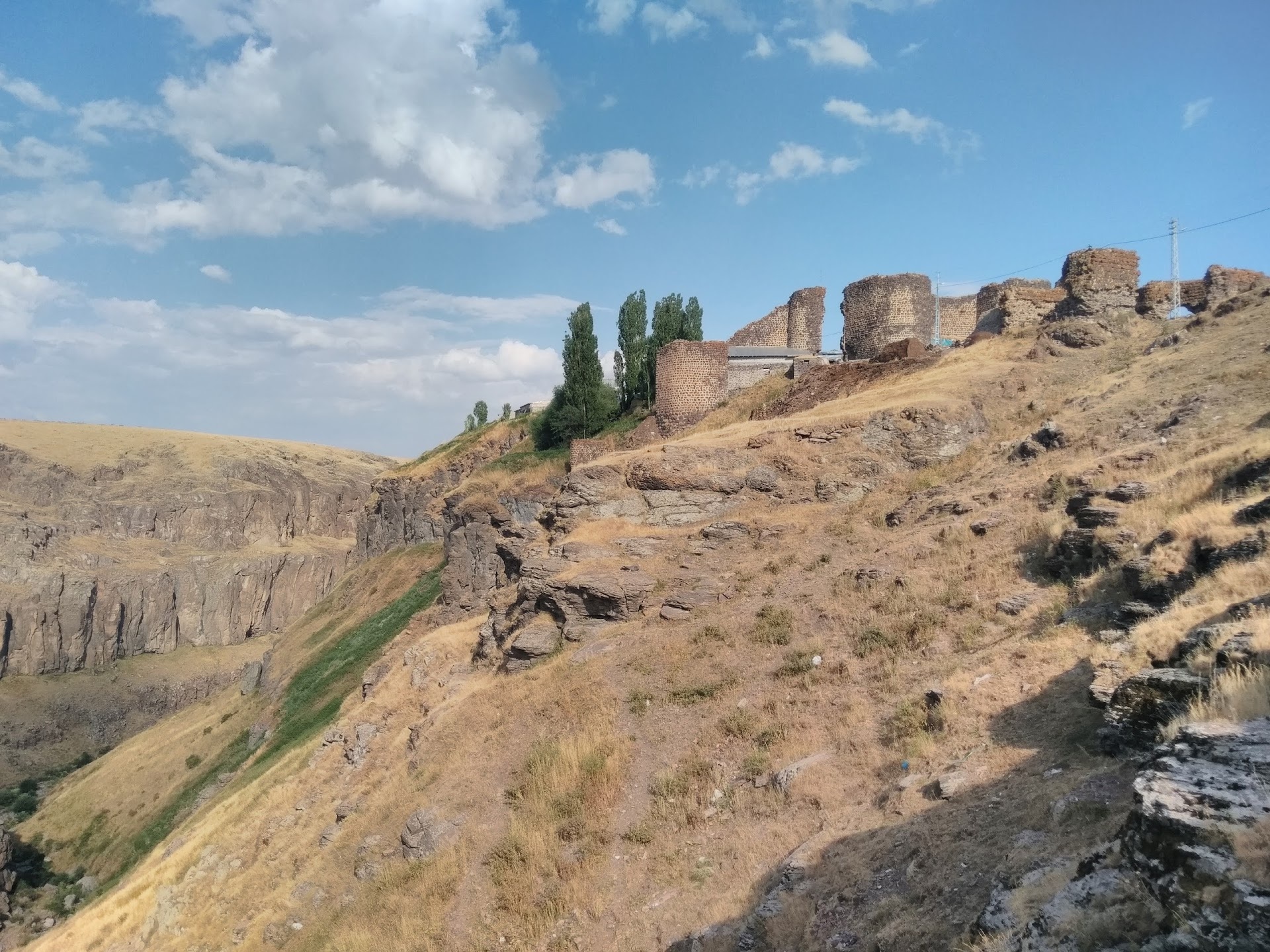
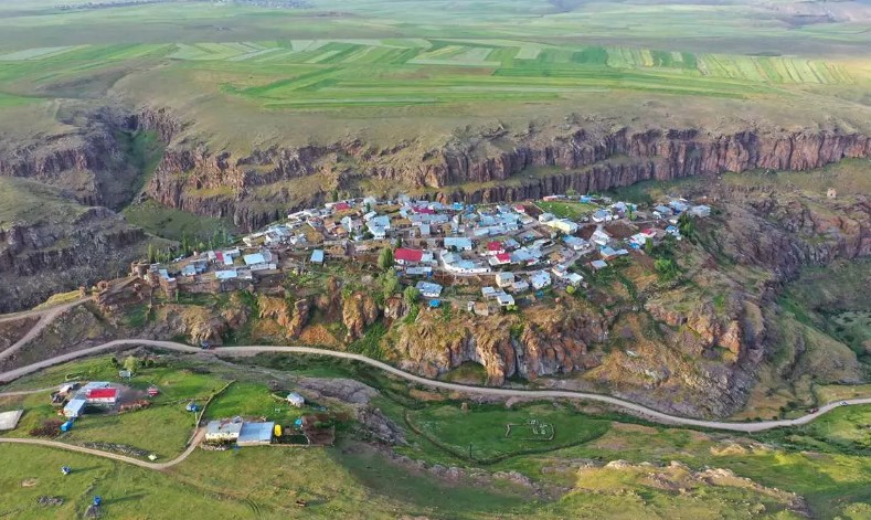
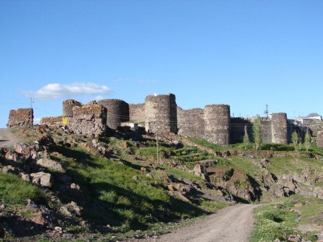
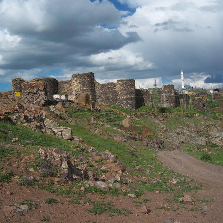
Located in the Aras River bed, with fertile soil and a temperate climate, the district has a geographical location suitable for agriculture, among high mountains. It is 72 km from Kars, 100 km from Iğdır and 150 km from Erzurum. Kağızman has an area of 1972 km². Elevation differences are high within the district. These altitudes vary between 1100–1600 m. It neighbors Kars center and Selim in the north, Tuzluca and Digor in the east, Sarıkamış in the west, and Ağrı center in the south. It is located on a deposit section in the Aras valley. Geographically, the district has not yet completed its tectonic formation. It was settled on faults and fractures. Therefore, earthquakes in the region are dangerous from time to time. There were 13 earthquakes between 1104 and 1962. On the other hand, mass movements occur in the form of falling, slipping and crawling. Rock falls are observed around Kötek and Çallı, and landslides are observed around Camuşlu-Kozlu, Yenice-Taşburun and Akdam villages. Kağızman district has 62 villages. There are graves showing Early Iron Age characteristics near the settlement. Early Iron Age, Early Bronze Age, Iron Age (Middle Iron Age) and Middle Age pottery found in the region show that there was settlement in these periods. The region, which was under the rule of the Urartian Kingdom from the 9th century BC to the 6th century BC, was later ruled by the Persians, Arsacid Kingdom, Romans, Parthians and Sassanids. Semi-independent Armenian principalities dominated the region, which was subjected to Arab raids in the 7th century AD, in the 9th century. After the mid-10th century, the region came under the control of the Byzantine Empire. Kağızman, which came under the rule of the Seljuk Dynasty along with Kars in 1064, came under the rule of the Saltuks and Kipchaks in the following period. The region, which constantly changed hands between Anatolian Seljuks and Georgians from 1202 to 1239, was annexed to the Genghis State during the Mongol invasion, and was under the rule of the Ilkhanids, Golden Horde State, Celayirids, Karakoyunlular, Timur State, Akkoyunlular and Safavids after the Mongols, was conquered by Suleiman the Magnificent in 1534. It was annexed to the Ottoman Empire by Sultan Suleiman. Kağızman was captured by the Russians during the 1877-78 Ottoman-Russian War and was left to the Russians in accordance with the agreement. Under the rule of the Russian Empire, Kağızman was connected to Kars as Okrug (Kaza) and Christian villagers were settled in the region. Russian domination, which lasted until 1918, ended with the Brest Litovsk Peace Treaty. The settlement, which was captured by Armenian forces after the withdrawal of the Russians, was annexed to Turkish territory on October 1, 1920 by the forces of the 15th Corps.


Leave Your Comments