Kahta
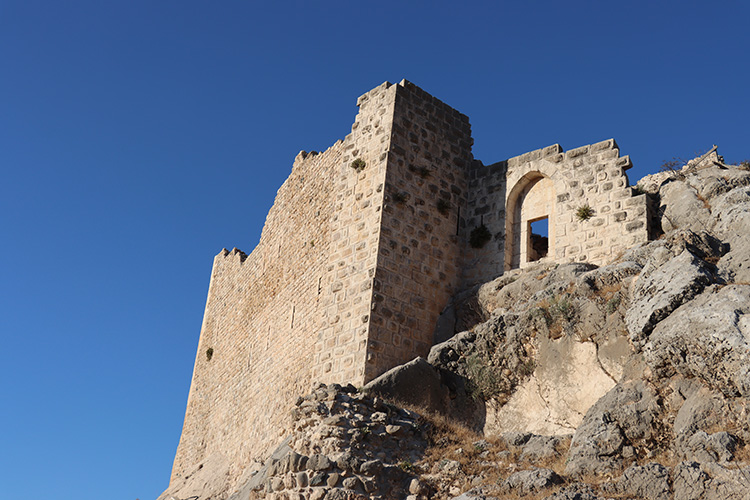
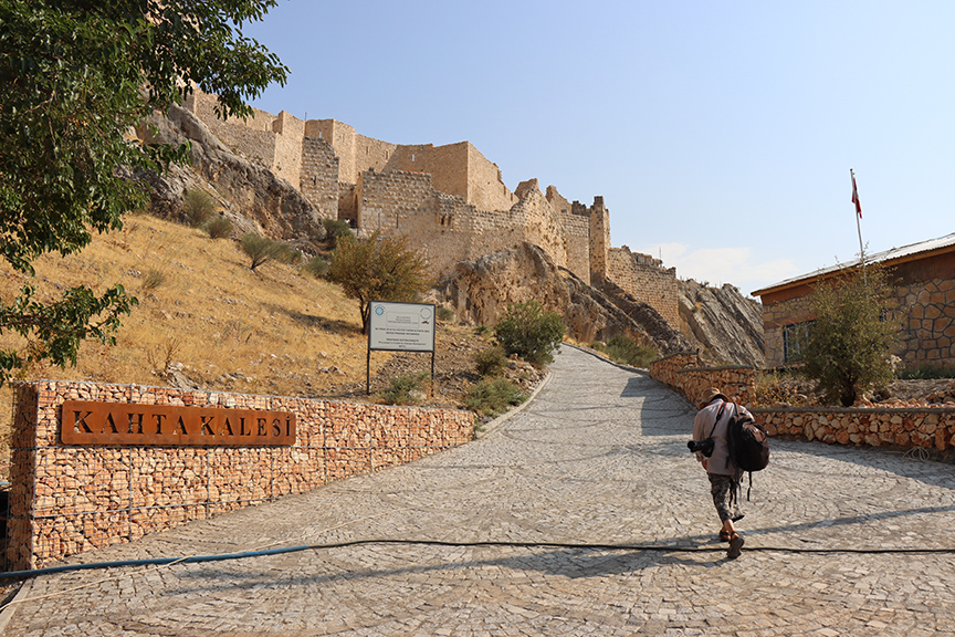
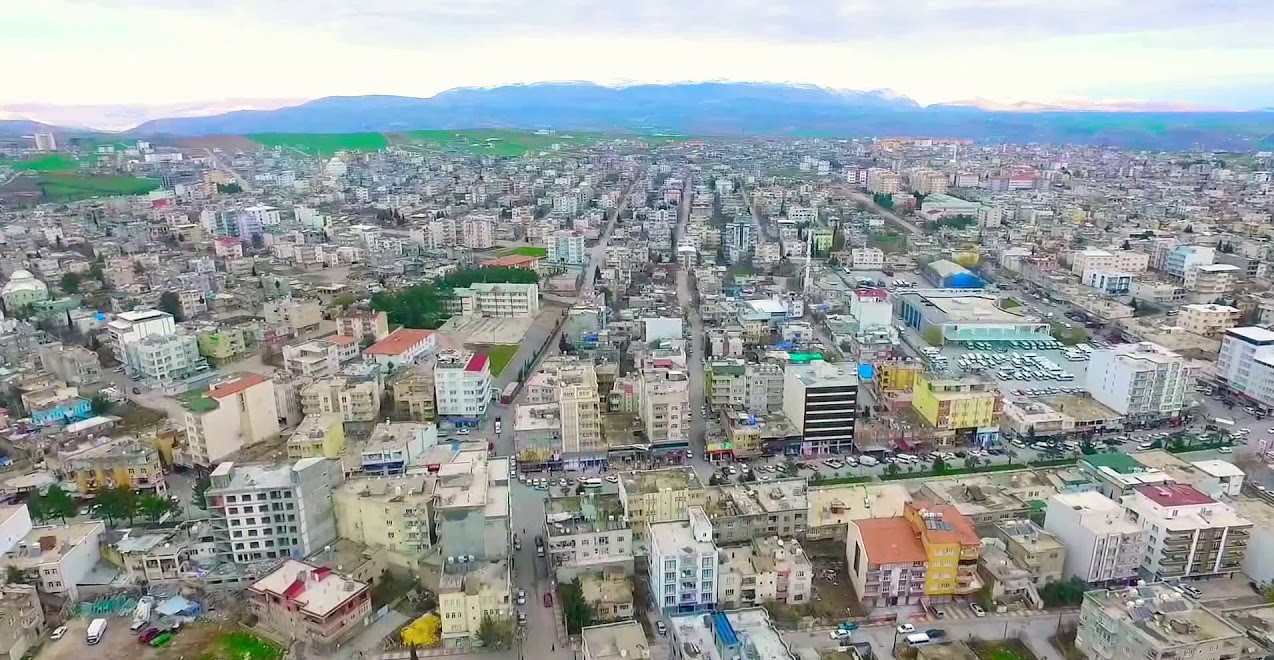
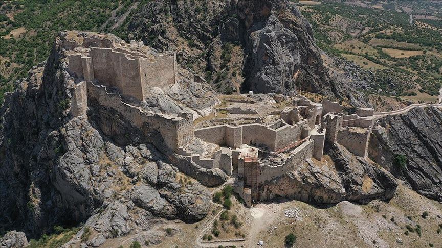
Kahta is the second largest district of Adıyaman after the city center. Its population is 127,534 people. Mount Nemrut, 41 km north of the district, is home to historical and cultural artifacts. The source of the county name; Although there is not much information in the sources about where the name Kâhta came from, it is understood that the name "Kâhta" means "Skirt of the Mountain" in Persian and was used by the Persians who dominated the region before the Komagenelis, and this name originates from the location of the old settlement. The old district center is Eski Kahta and is located at the foot of Mount Nemrut. The history of Kahta dates back to prehistoric times due to its proximity to Mesopotamia, the birthplace of morning civilization. Due to its geographical location, it has hosted countless civilizations from prehistoric times to the present. The artifacts and findings obtained from the archaeological excavations in the region and the living historical findings that have survived to the present are the most prominent evidence. Artifacts from the Paleolithic, Neolithic, Chalcolithic and Bronze Ages are exhibited in the Adıyaman Museum. Until the establishment of the Commagene Kingdom in 2000 BC (69 BC), the Hittites, Mitanni, Arameans, Assyrians, Late Hittites, Persians, Kummurs and Alexander the Great of Macedonia and the Eastern Roman Empire ruled. The kingdom of Commagene, founded in 69 BC, left the giant statues on Mount Nemrut, which is nominated as the eighth wonder of the world today, and other historical artifacts in the district. The kingdom of Commagene, which ruled the region for 142 years and left the artifacts that have survived until today, was abolished by the Roman Empire in 72 AD and connected to the province of Syria. The name of the district is unknown in ancient and Byzantine times. It was one of the border fortresses of the Islamic world in the Middle Ages. The Umayyads in 670 AD, the Byzantines and Sassanids in 758, the Hamdanids in 926, the Seçuklus in 1226, the Mamluks, Artukids and Dulkadiroğulları until 1284, Timur in 1393 and the Ottoman Empire after 1516 dominated the region. The city of Kahta was moved to its current location in the first years of the Republic and was previously where the current Kocahisar (Ancient Kahta) village is located. In the first half of the third century BC, a king named ARSEMES is thought to have dominated this region. II. We see two cities named after a king named Arsemes, the brother of Seleucus (246-225 BC). The first of these is the upper Arsemia opposite the old Kahta castle. Kahta Castle was taken from the Byzantines by the Seljuks (1085) after the victory of the Seljuk Emperor Alparslan in Manzikert (1071). The region changes hands between Malatya Danishmends, Seljuks and Artuks from time to time. The castle was later repaired by Melik'ul-Mansur. (12th century) Harput emirate changed hands between Danishmends and Seljuks for a while. Ceyli Bey, the serasker of Sultan Alaeddin Keykubad, captured the castle later. Seljuk domination begins in the region. (1226) Kahta is sacked during the Baba Isaac revolt (1240-1241). The name of the castle of Kahta is frequently mentioned in the wars between the Mamluks and the Mongols. In 1283-1289, the castle was taken by the governor of Aleppo, Kara Sungur. It is re-arbitrated. Then it passes under Ottoman rule. When Timur captured the castles up to Malatya and Kahta, Yıldırım Beyazid dismissed the guards he had put in the castles and put Kara Osman, one of the Turkmen, on the throne. With Timur's withdrawal, the Mamluks dominate the region. (1417-1418) The dominance of the Mamluks continues until Yavuz Sultan Selim seizes the region. After it came under Ottoman rule during the reign of Yavuz Sultan Selim in 1516, it was connected to the Dulkadirli Emirate like other districts, and to Samsat, which was turned into a sanjak center during the time of Kanuni, to the province of Zülkadiriye (Maraş). Kahta was connected to Malatya in 1531 and to Hısn-ı Mansur (Adıyaman) in 1349. When Malatya became a sanjak in 1859, Kâhta was re-connected to Malatya like other districts. This situation continues until the collapse of the Ottoman Empire. In 1859, an Abdal rebellion in Kahta was suppressed. Ali Galip, who was assigned to capture and neutralize M. Kemal during the National Struggle, comes to Kahta when he is pressed in Malatya. He was a guest of Hacı Bedir Bey with the persons accompanying him. When he could not find the support he hoped for from Hacı Bedir Bey, he fled from Kahta to Urfa and from there to Aleppo on 15.9.1919. Kahta preserves its former status as a district of Malatya during the republican period. In the first years of the Republic, it was moved to its current location, 26 km south of the old Kahta. The 7th wonder of the world (the world's largest open-air museum), Mount Nemrut ruins, Cendere Bridge, Eski Kahta castle, Arsemia, Karakuş Tumulus these are the main ruins. There are these and similar unique ruins all over Kahta. The statue of the biggest Zeus King in the world is on the ruins of Mount Nemrut.


Leave Your Comments