Konyaaltı
Konyaaltı is a district of Antalya province. As of the end of 2022, its population was 204,795. It has 10 villages and 29 neighborhoods. It borders Kepez with Çakırlar Road, Muratpaşa with Dumlupınar Boulevard, Kemer and Kumluca to the south, Döşemealtı to the north and Korkuteli to the northwest.
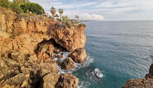
It is estimated that until the late 20th century, the area today called Konyaaltı was known as "Koyaltı" due to the fact that Antalya was located on the cliffs, and it was transformed into Konyaaltı over time.
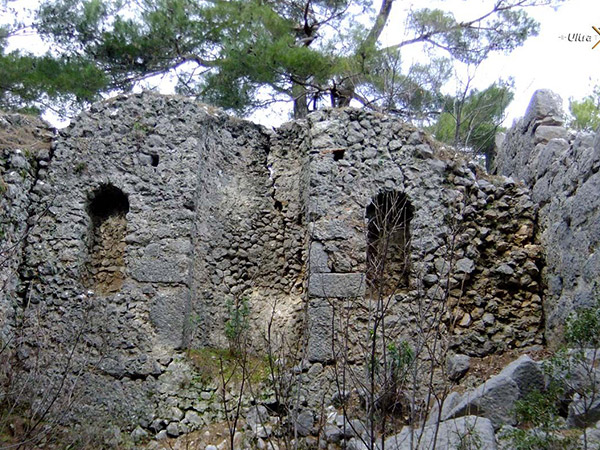
According to the settlement map of Anatolian civilizations, Konyaaltı is located within the borders of Lycia. Lycia borders with Pamphylia. The name of the Lycian civilization, which is known to date back to 30 years BC, is Olbia, which is located in Konyaaltı region.
Antalya's harbor is located in Konyaalti. Konyaaltı is also approximately 20 km from Antalya Airport.
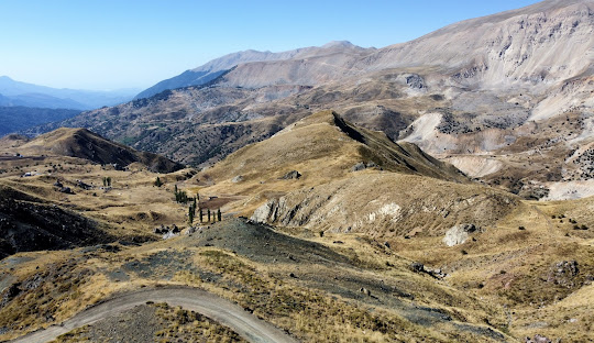
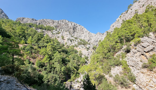
A part of Antalya Beydağları, Boğaçayı and Çandır Stream are located within the borders of Konyaaltı region.





Leave Your Comments