Oltu
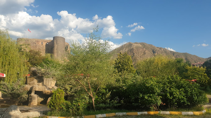
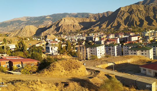
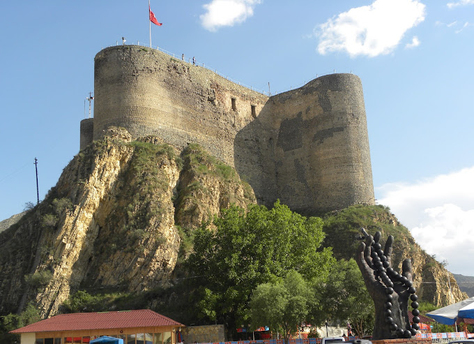
Oltu is a district of Erzurum province. Its population is 30,316 people as of 2021. It has 72 neighborhoods. Geographically, it is located in the northeast of Erzurum province, at the intersection of Eastern Anatolia and Eastern Black Sea regions. It is surrounded by Yusufeli, Olur, Şenkaya, Narman, Tortum and Uzundere districts. The district center is located in the valley of Oltu Stream. It is 117 km away from Erzurum city center.
Oltu ranks first after the central districts of Erzurum in terms of socio-economic development. Its economy is largely based on agriculture, animal husbandry, mining and forest products. There are 2 faculties and 1 vocational school affiliated to Atatürk University in the district. Oltu is located on the Hopa-Iran Transit highway connecting the Eastern Anatolia Region to the Eastern Black Sea Region.
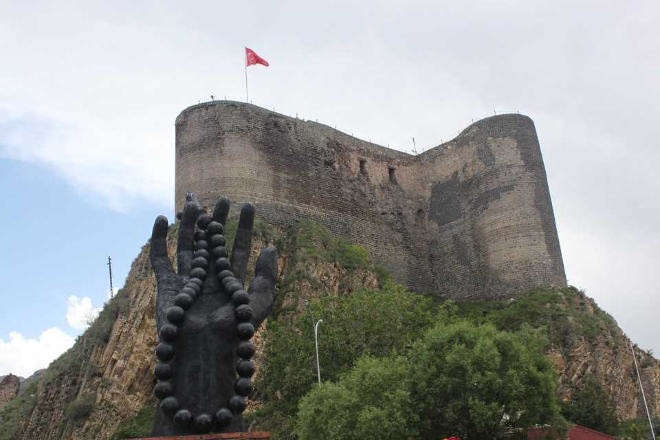
Oltu's history dates back to the 10th century BC. It has been under the sovereignty of many different states such as Hurris, Urartians, Cimmerians, Scythians, Persians, Macedonians, Arsacids, Armenians, Romans, Byzantines, Khazars, Umayyads, Abbasids, Georgians, Seljuks, Ilkhanids, Karakoyunlular, Akkoyunlular, Ottomans, Russians. Oltu, which was excluded from the territory of Turkey with the Treaty of Mondros, was ruled by the Oltu Shura Government for 13 months and joined the Ankara government on May 17, 1920. In 1926, it was made a district of Erzurum province, Şenkaya in 1946 and Olur in 1958 were separated from Oltu and became new districts.


Leave Your Comments