Ortaca
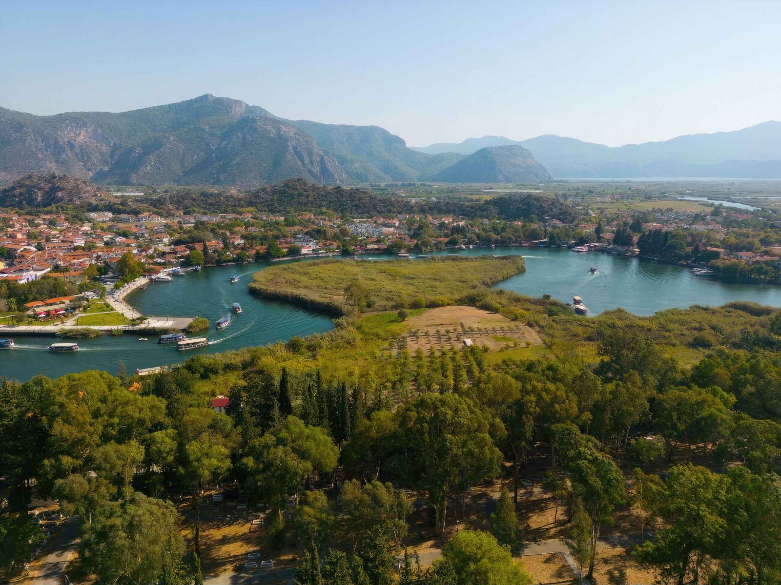
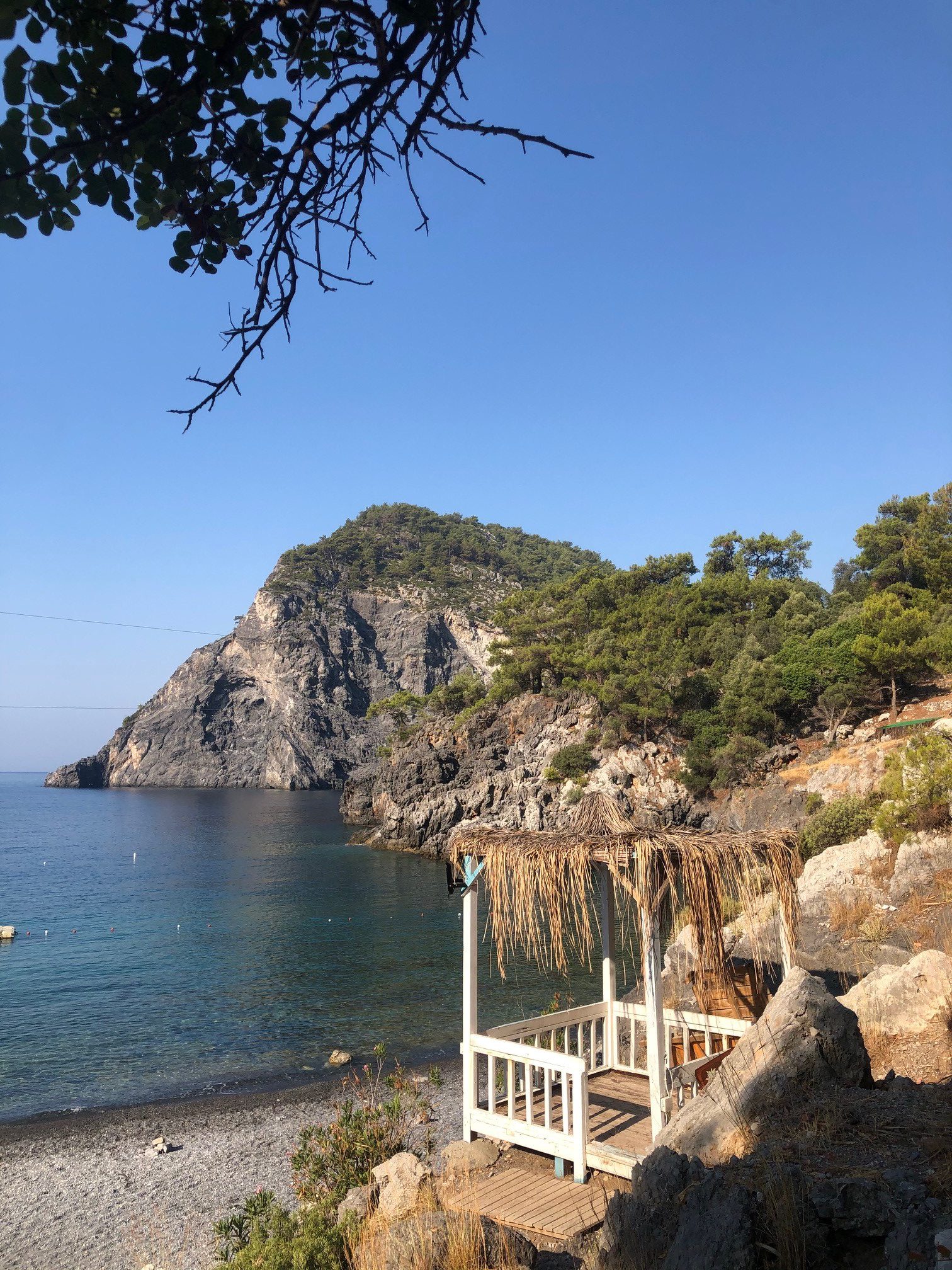
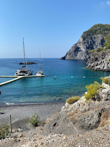
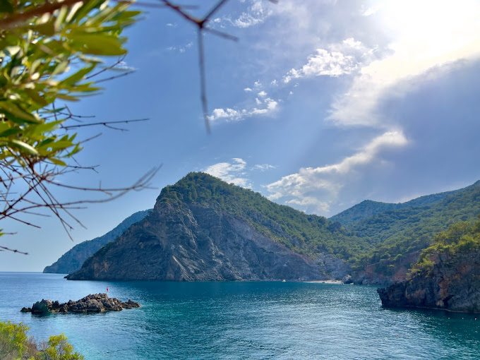
While it was a village in Köyceğiz, it became a municipality by gaining town status on 25 May 1959. It became a district in 1987. A view from Baba Island in Ortaca (October 2019) Ortaca is located in the east of Muğla province. Köyceğiz is located in the west and north, Dalaman is in the east and the Mediterranean is in the south. The main highway between Muğla and Fethiye passes through the north of the district. In Muğla Province, where 13 districts are affiliated, Ortaca ranks 5th in the field of Trade and Industry after Milas, Fethiye, Marmaris and Bodrum. The literacy rate in the district is one hundred percent and it is a place where social and cultural activities are intense. It has an extremely fertile plain due to both its climate and soil structure. While its main product was cotton until the 1980s, today pomegranates, oranges and tangerines are the most important fruits grown. The district has many touristically important places. Dalyan is a neighborhood within the district borders. Köyceğiz-Dalyan Lagoon system is a natural wonder consisting of lakes and canals decorated with reeds. It is a habitat that is as beautiful as it is with great biodiversity. The Ancient City of Kaunos rising from the delta, the king's tombs adorning the slopes, and the Caretta Carettas laying eggs at Iztuzu Beach make the district an even more special place. One of the most distinctive features of Ortaca is; Life in the district is cheaper compared to other touristic regions. For this reason, people from neighboring districts and towns come to Ortaca for shopping. In fact, workers, civil servants and citizens who work in districts and towns other than Ortaca prefer Ortaca to house their homes and live here.



Leave Your Comments