Reşadiye
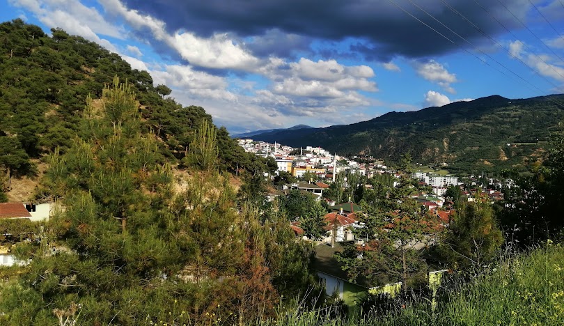
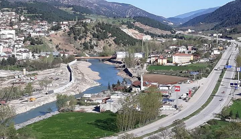
Reşadiye is a district of Tokat located in the Cappadocia region within the Kızılırmak arc in the central part of the Black Sea. It is on the highway, on the edge of the Kelkit Stream. Reşadiye; It is surrounded by Ordu in the north, Almus in the south, Niksar and Başçiftlik in the west, and Sivas in the southeast. According to 2022 TÜİK data, its total population is 32,600. The land of ancient Cappadocia was passed from hand to hand, and different nations established civilizations on this land. Hittites, Persians, Macedonians, Pontus Kingdom, Romans, Byzantines, Seljuks, Danishmends, Kadı Burhaneddin and Akkoyunlu ruled in this region respectively. Later, this land came under the rule of the Ottoman Empire. The history of Iskefser, known as the old name of Reşadiye, dates back to the 15th century. The famous Turkish traveler Evliya Çelebi, who passed through this region and returned to Istanbul via the same route to Erzurum, mentions this region in his Travelogue. It is stated in Evliya Çelebi's Travelogue that the so-called Eastern Road, which provided land transportation between the East and the West in those centuries, passed through Reşadiye. There are still large old cemeteries on this road. The fact that Reşadiye is covered with pine forests in terms of geographical features, that it is not affected by the harsh climatic conditions in winter, that it is in a central place compared to the location of the villages, that there are thermal springs beneficial to health, and that the Şark Road on the Kelkit Valley passes through here are the reasons why it was chosen as the district center. The earthquake, also known as the 1939 Erzincan Earthquake, hit Reşadiye and its villages in the morning between 26 December and 27 December 1939, and in this earthquake, not a single building was left standing in Reşadiye. In this state, the district center and villages were abandoned to their fate for a long time. Official records show that a total of 2100 people died, including the villages. As a result of long discussions between Tokat Governor İzzeddin Çağpar, District Governor Necati Gökmoğol and the established board, the settlement of the new Reşadiye was moved to the north of the old settlement, to the foot of the mountain. After 1966, with the intense work of the administrators of the time and the contributions of the people of Reşadiye, a new breakthrough and structuring emerged, first the financial problems were overcome, extremely important investments were made under the conditions of the day, and in the 1970s, as in all of Turkey, Reşadiye went abroad a lot. sent a number of workers. These workers transferred their earnings to their districts, thus the district center entered a rapid urbanization process. In addition, near the village of Altıparmak, there is a hamlet called Kalekek in the south of the village, but the ruins and height of the castle, which have not come to light, are visible. To date, various ceramic items, coins, and historical graves belonging to the Romans, Byzantines and Turks have been found in Reşadiye, spread across the plateaus and villages. Ruined ruins of castles can be found here and there in the villages. Most of the foundation ruins remain. There is a historical burial ground in the plateaus of Göllüköy, Çamlıkaya, Saraydüzü, Kalecik, Mengen Castle, Kaledüzü, Kızılcaören and Turaç Village, which belongs to the Byzantine period and where Muslims were later buried.



Leave Your Comments