Salıpazarı
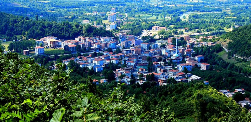
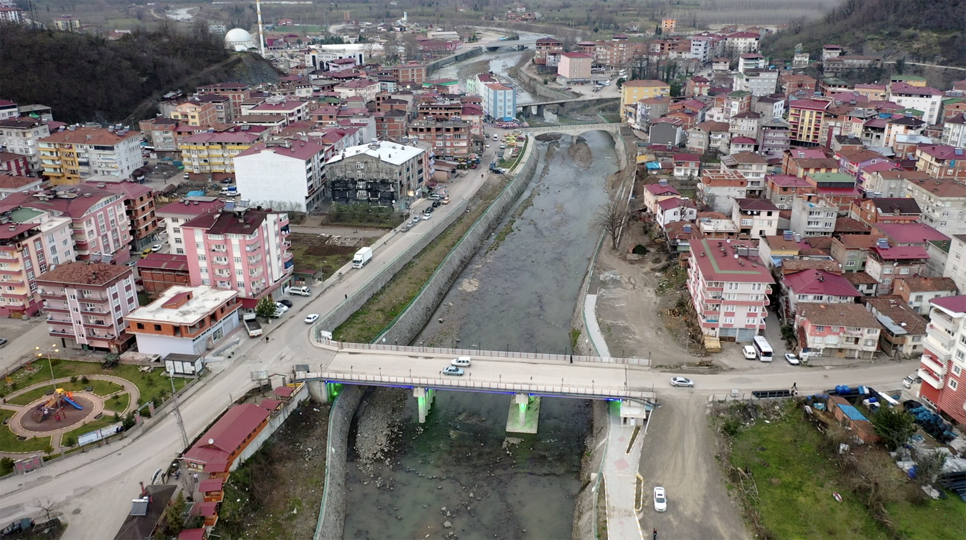
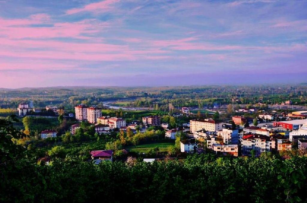
Salipazarı is a district of Samsun. It became a municipality in 1973 with the merger of Alanyaykın, Düzköy and Bereket villages of Terme and Çarşamba districts. The district organization was established on 04.07.1987 and was connected to Samsun. Tuesdaypazarı takes its name from the market held in the district every week on Tuesday. It is known that before World War I, Greek, Armenian and Georgian populations lived in the region alongside Turkish villages. During World War I, there were conflicts especially between Armenian gangs and Turkish people. However, as a result of the struggle of the Turkish people, the Armenians had to leave the region. The reason why the Armenians had to leave the district was that Durmuşoğlu Ali Ağa captured a large Armenian arsenal in the flood cemetery and distributed them to the Muslim people. Runic Turkish inscriptions and tamgas used by the Pechenegs and Kipchaks from the Oghuz tribes were found on various rocks covered with moss in a hazelnut garden in the district. Rock tombs belonging to ancient civilizations were also found in a hazelnut garden. The district, which is 54 km away from Samsun, is surrounded by Erbaa and Akkuş in the south, Terme in the east, Ayvacık in the west, and Çarşamba districts in the north. Salipazarı has no coast to the sea. The north of the district is plain, the south is hilly. Yeşilçay and Terme Streams intersect in the district center. There are three bridges over these streams. Of these, the Kurt Bridge connects Gökçeli Village and the Maviren Bridge connects Yavaşbey Village to Salıpazarı. Despite its population of 15,471, it has a generally quiet appearance, except for the liveliness thanks to the market held in the town center on Tuesdays. Transportation to the district is provided by private public buses departing from Çarşamba and minibuses departing from Terme. A large pond was created by bringing Terme Stream and Yeşilçay together. There are also trout facilities on the edges of these streams where tourists can stay. Salipazarı climate can be evaluated in two parts. The typical Central Black Sea climate prevails in the plains, with cool summers and warm winters. However, as you go to higher elevations, the climate becomes harsher. In winter, snowfall exceeding two meters is observed. 80% of the district's land is rugged and mountainous. It has an extremely lush and green vegetation. Oak, alder, chestnut and especially hazelnut trees occupy a large area in forest areas. In addition, although most of these groves consist of chestnut trees, the chestnuts and chestnut honey of the region are also famous, and it is possible to come across a wide variety of herbs and plants among this vegetation, and herbs and plants such as many herb species (kaldırık, Kırçan and vinegar) are popular among the local people. It is used in the preparation of various types of dishes.


Leave Your Comments