Sarıoğlan
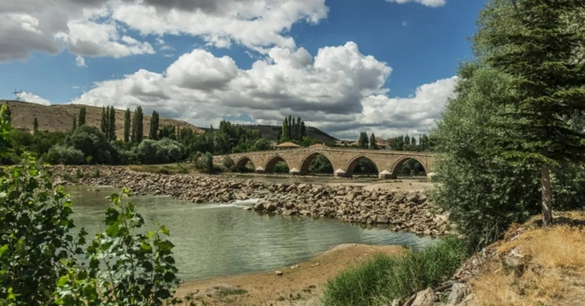
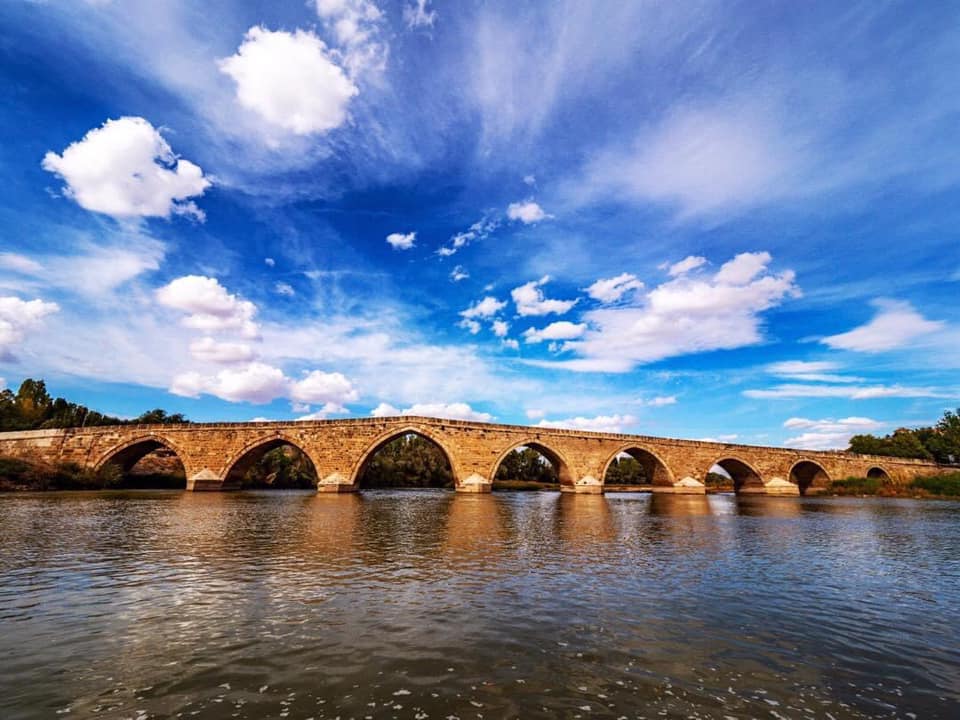
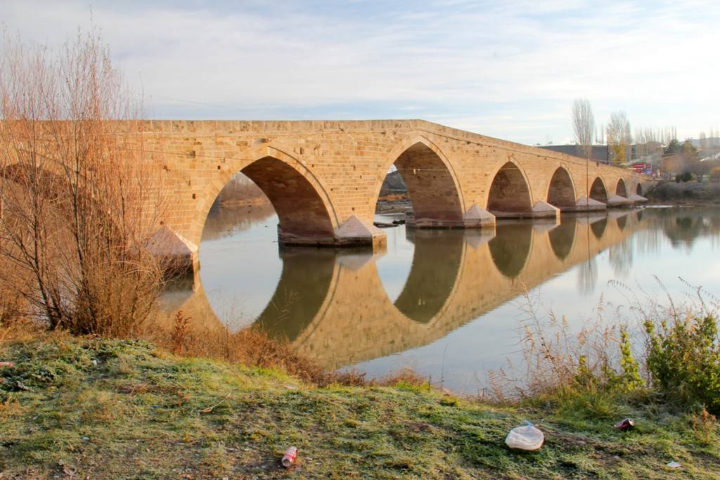
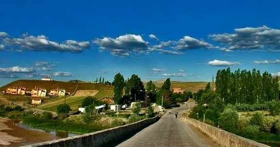
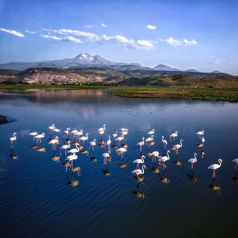
Sarıoğlan is a district of Kayseri province. There is no exact information about the establishment of Sarıoğlan District. It is said to be an old settlement. It is a small settlement in Pınarbaşı district during the Ottoman Empire. After Bünyan became a district, it was connected to Bünyan district. The towns of Palas and Karaözü in the district are older settlements. The Grand Mosque located in the town of Palas was built in 1200. During the Republican period, 200 families of Balkan immigrants were settled in Sarıoğlan district and they integrated with the local people. The settlement, which was previously a township within the Bünyan district, turned into a town municipality on 13 November 1953. On April 1, 1960, it took the form of a district in administrative terms with the law on the Administrative Systems Amendment of the Turkish Grand National Assembly. It was included within the borders of Kayseri Metropolitan Municipality with the 2012 Metropolitan Municipality Law. In 1929, the Haydarpaşa - Kars railway passed through the district, facilitating transportation to the west and east. The station built on the railway responded to a great need of the public. Sivas - Kayseri highway passes near the district. The distance of Sarıoğlan district to Kayseri is 61 km by highway. The road is always open. Sarıoğlan district was flooded in 1948 when the Kesdoğan stream overflowed. District residents who left the old settlement moved to its current location. The old settlement is in the northeast of the district. The district is surrounded by Felahiye - Özvatan districts to the northwest, Akkışla - Gemerek districts to the east, Bünyan districts to the south, and Kocasinan districts to the west. The territory of Sarıoğlan district consists of the surrounding plains and the bare hills, ridges and slopes surrounding them. Mountains rather resemble hills in rows formed by small piles of soil and stones. Beştepeler, Üçpeler, Hamburnu Hill, Kepirçe Mountain, Altıparmak Hills are high. The main mountains surrounding the region are: There is Demirhan Mountain between Palas town and the district center, Kocadağı between Kuşaklı, Palas, Üzerlik and Ömerhacılı in the west of Sarıoğlan district, Kepirçe Mountain in the northeast, Sultansekisi Mountain between Gaziler and Özvatan district, Akdağ and Keçikalesi mountains between Gaziler town and Çayıralan. The largest mountain is Keçikalesi and is 1500 m high. The altitude in the district center is 1148 m. Kızılırmak, the largest river of Turkey, enters the borders of Sarıoğlan district starting from the town of Karaözü. It leaves the district borders by passing through the villages of Kale, Burunören and Üzerlik. There are two crossings on the Kızılırmak. First; It is a historical stone bridge with eight arches built by Shahruk Bey. The bridge is suitable for all kinds of transportation. Latter; It is a bridge built on iron poles between Küpeli town and Üzerlik villages. This bridge is also open to transportation. Another important river of the district is the Kesdoğan Stream, which originates from the Hinzir Mountains and flows into the Kızılırmak River within the borders of the Burunören neighborhood. By building dams on the stream, the land was irrigated. There are four bridges over this stream, which divides the district territory into two and is 45 km long. It overflows in spring and autumn when there is heavy rainfall. 2/3 of Tuzla Lake, located in the town of Palas, is covered with salt. Other parts are swamps and mud. The area of the lake is 29.6 km². The lake was previously used as a salt pan, but it was closed because it contained gypsum yeast, which is harmful to health. About two hundred families from the Balkans were settled collectively in Sarıoğla. Today, these Sarıoğlan Balkan immigrants have established an association among themselves. They come together from time to time and tell their memories about Sarıoğlan. The continental climate prevails in the Central Anatolia Region. Summers are hot and dry, winters are cold and rainy. The average precipitation is 350–400 mm, and a significant part of the precipitation falls in spring and winter. Flora; There are small plant species along Kızılırmak. Large-scale tree planting has started by the District Governorship in the Ömerhacılı neighborhood of Alamettin, Gaziler towns. The 75th Anniversary Republic Memorial Forest was built by Sarıoğlan District Governorship on an area of 40 decares. There are 6 municipalities, 16 neighborhoods, 5 towns and 19 villages in the district. The distance of the farthest villages to the district center is 29 km. (Kızılpınar and Alamettin town) Çiftlik town is 12 km away from the center. The towns of Palas and Karaözü are 14 km away. Tatlı and Üzerlik villages are close to the center. According to the results of the 2000 Population Census, the population of the center is 5,222, the population of the towns and villages is 26,605, and the total population is 31,827. The annual population growth rate is 7.44 per thousand in the city center and -4.07 per thousand in the villages, and a total population decrease of -2 is observed. According to the results of the ADNKS population registration system in 2015, the population of the district center was 2463 and the total population of all places connected to the district was 14106.



Leave Your Comments