Sincan
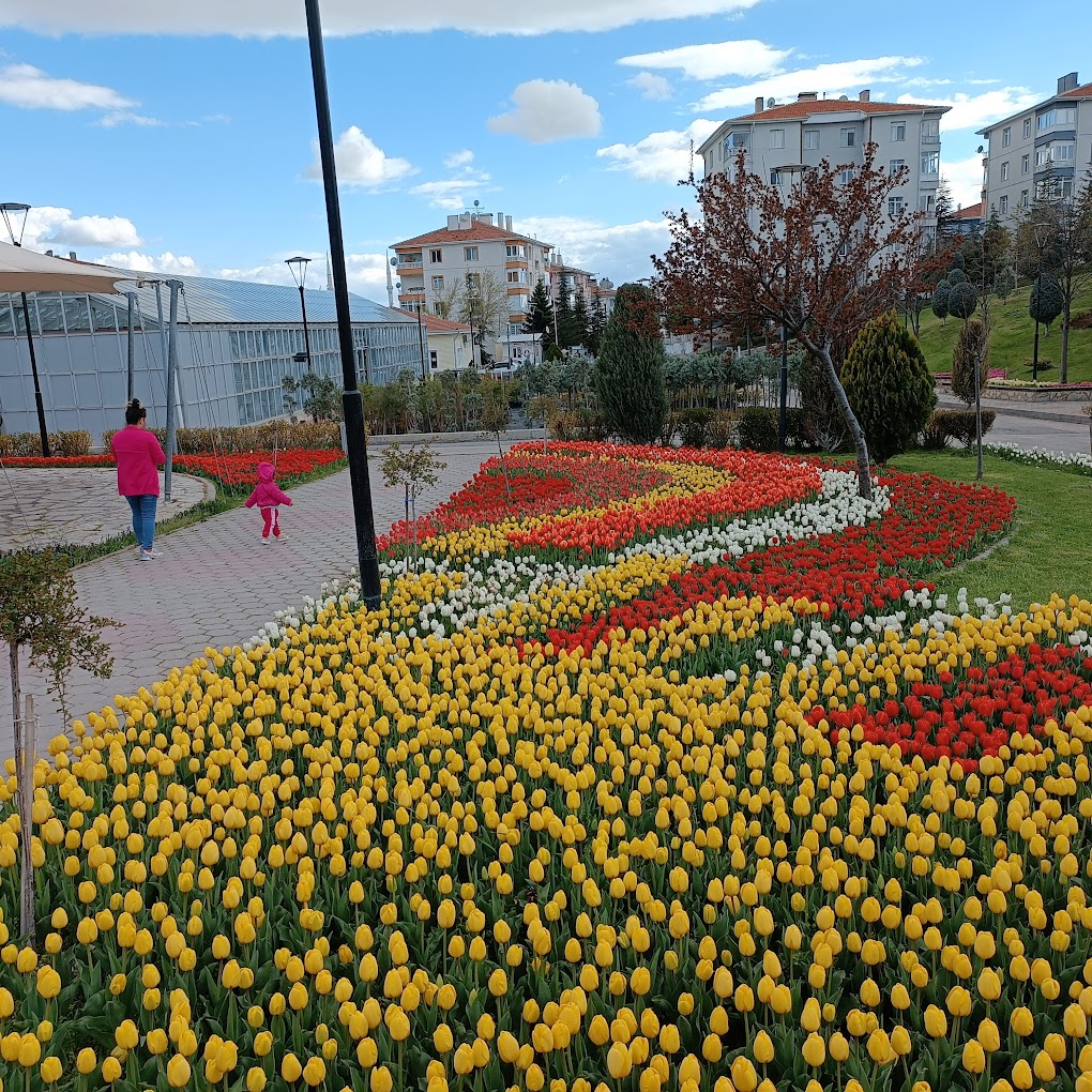
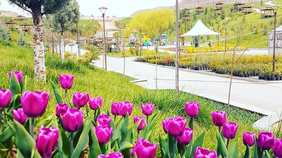
Although the exact date of establishment of Sincan is not known, the name of the village of Sincan is found in the 17th century archive records. While it was a village consisting of 28 houses and mosques in the first years of the Republic, its population reached 1,258 in 1950 with immigrants coming from abroad (Romania and Bulgaria) upon Atatürk's suggestions. By the order of Mustafa Kemal Atatürk, immigrants were brought to Xinjiang from Köseabdi, Romania, a town of 100 households. When they came to Xinjiang, they came with tulip bulbs. For this reason, when Xinjiang is mentioned, tulips and tulip gardens first come to mind. Sincan, which took the appearance of a typical immigrant village when our compatriots were settled here, developed rapidly in a short time due to its location on the Ankara-Nallıhan-Ayaş state highway, and became a sub-district center in 1956, and a municipal organization was established in the center in the same year. Sincan sub-district, whose population was rapidly increasing, was separated from Yenimahalle and turned into a district with the law no. 2963 enacted on 30 November 1983, and was later included within the borders of the Metropolitan Municipality by the decision of the council of ministers dated 8 March 1988 and numbered 88/12721. Sincan is 25 km away from Ankara city center. Etimesgut is located in the south, east and southeast of Sincan, which is a province of Ankara in the Central Anatolia Region; Yenimahalle in the north and northeast; Polatlı in the southwest; There are Ayaş districts in the west and northwest. The district is surrounded by mountainous areas and has flat areas with tectonic depressions mostly in the central parts. This area, called Murted Plain, is bordered by two fault lines in the east and west. The northeastern part is dominated by the western extensions of Karyağdı Mountain, and the eastern part is dominated by the extensions of Ayaş Mountain. The Ankara Stream, a tributary of Sakarya, irrigates the district's lands. Its surface area is 420 km2.



Leave Your Comments