Suluova
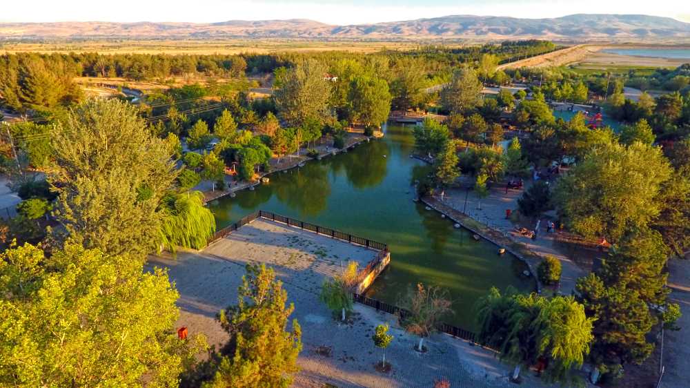
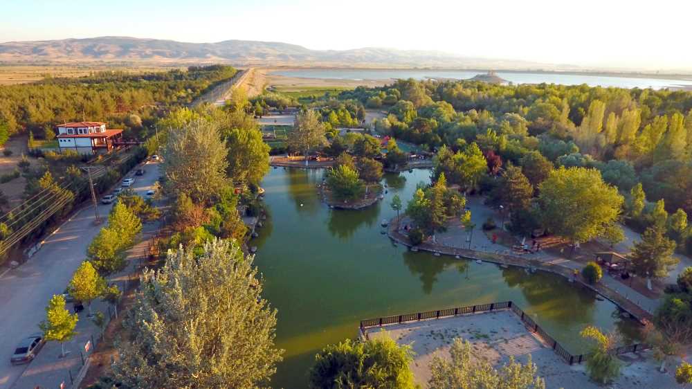
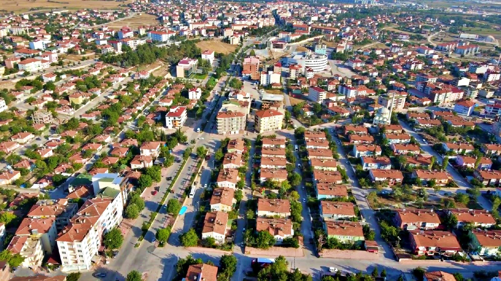
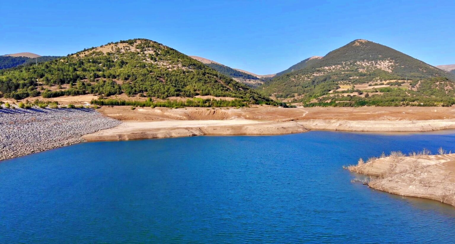
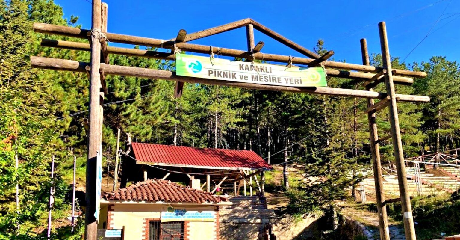
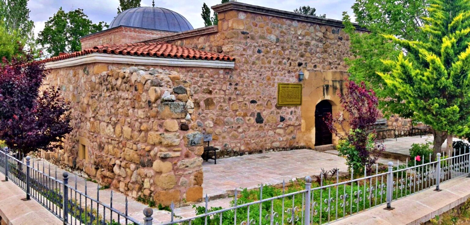
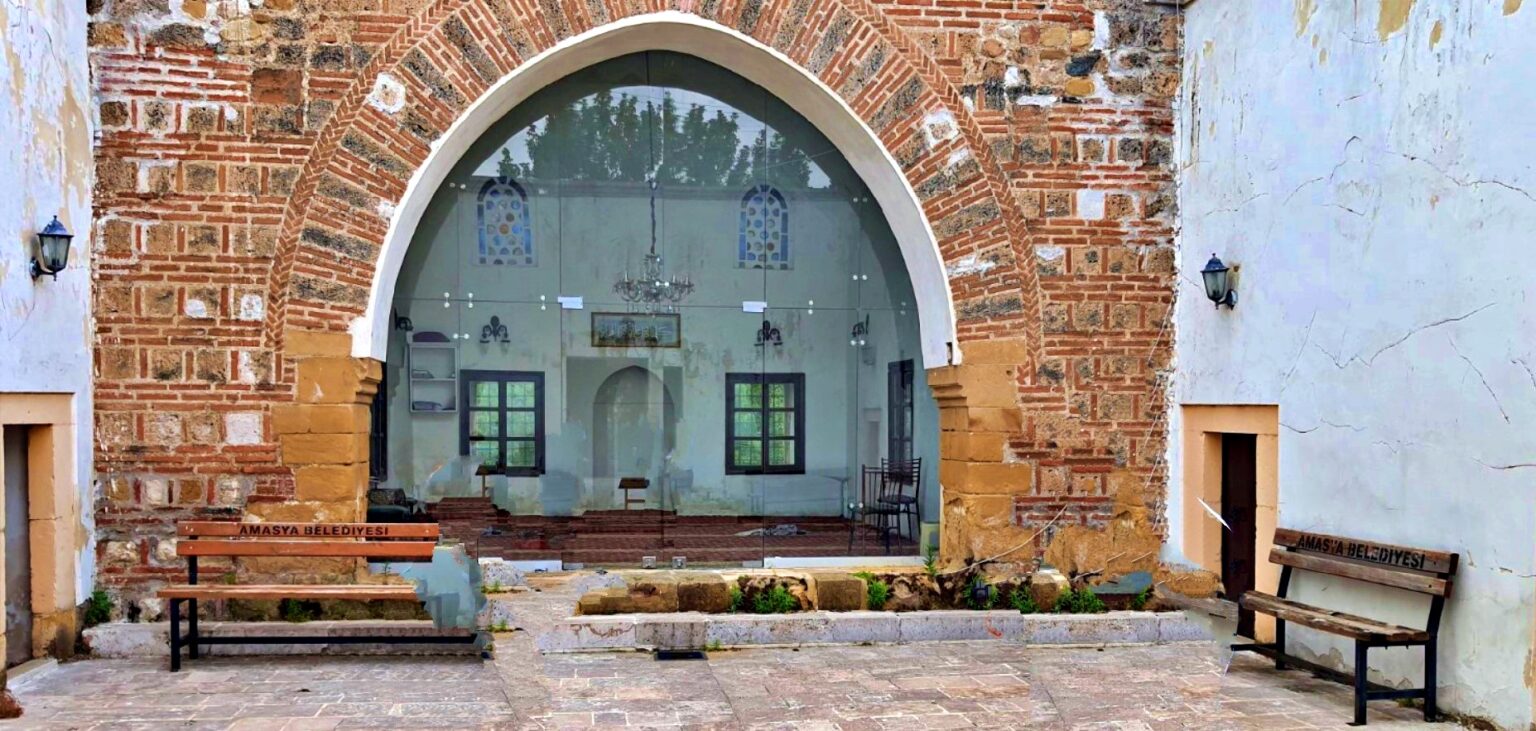
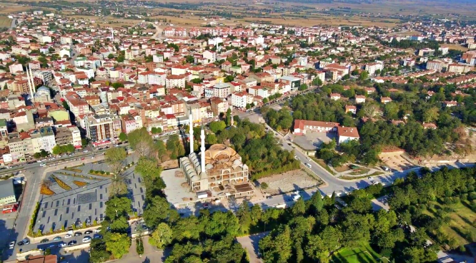
Suluova is a district of Amasya province. It is located 25 km away from the city center and in the west. Suluova, one of the districts of the Central Black Sea Region, was known as "Arguma" (Sulakyurt) in the early years of the Gregorian era. It became a parish with the name Suluca in 1902. In 1946, it was named Suluova and became a district. According to 2020 data, the population of Suluova is 47,314 in total, 39,211 in the district center and 8,103 in towns and villages. There is a town (Eraslan Town) and 38 villages in the district. There are 20 neighborhoods in the district center. 2/3 of the villages are plain villages and 1/3 are forest and mountain villages. The settlement of the villages is collective. The history of Suluova dates back to 2000 BC. According to the inventory found during the excavations in Kumbettepe, located in the "Doğukent" neighborhood, the history of the district dates back to the chalcolithic age and the Hittite period. It came under Turkish rule during the Seljuk period. It came under Ottoman rule in 1386. The district center, which has a rich lignite resource, showed rapid development with the establishment of the Sugar Factory in 1954.


Leave Your Comments