Taşova
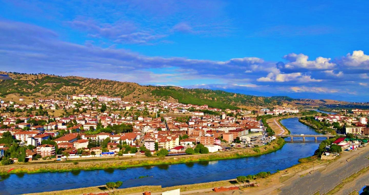
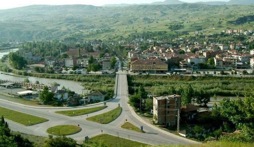
Taşova is the 4th largest district of Amasya province. Taşova District is located in the Central Black Sea Region of Turkey. Taşova District is located on 40° 46' 36" north latitude and 36° 13' 12" east longitude. Taşova is in the west of the fertile plain, which starts from Koyulhisar in the east and includes important and large districts such as Reşadiye, Niksar and Erbaa. Tokat's Erbaa district is located in the east of the district, Amasya and Ladik District of Samsun province are located in the west, Çarşamba District of Samsun province is in the north, and Turhal District of Tokat province is located in the south. Taşova has been under the domination of many states throughout history. Archaeological finds were found during excavations in the district. The first state to establish sovereignty in Taşova was the Hittites. When the Hittites dominated Anatolia in 1650 BC, they also took Taşova and its surroundings under their rule. Later, the Phrygians (1200-700 BC) and Cimmerians dominated the region. The Med Empire, established in Iran, began to expand towards Anatolia and put an end to the Cimmerian State and dominated the region. Taşova came under Persian rule during the time of Persian King Adaşir III. King Alexander of Macedonia invaded Anatolia in 331 BC. Therefore, Taşova also came under Macedonian administration. Following the dissolution of the Kingdom of Macedonia, the Kingdom of Pontus was established in the region. (291 BC) The sovereignty of the Kingdom of Pontus continued until Amasya joined the Roman Empire. Roman Emperor, Jules Caesar, won the battle with King Pharnac of Pontus (47 BC). The Romans completely annexed the region in 25 AD. Many works exhibited in Amasya and Alparslan Museums confirm that the Macedonian and Roman Empires continued to dominate the region. Taşova remained under Roman rule until 395. After this date, the Byzantines controlled the region for centuries. In 712, the Umayyads captured Taşova. After a while, the settlement came under Byzantine rule again. Great Seljuk Sultan Alp Arslan defeated the Byzantine army in the Battle of Manzikert on August 26, 1071, and opened the gates of Anatolia to the Turks. Turkish commanders sent by Sultan Alp Arslan to Anatolia began to capture Anatolian cities one by one. During the two centuries following the Battle of Manzikert, Turkish tribes migrating from Khorasan and Transoxiana settled in cities and towns. Meanwhile, Seyyid Nurettin Alparslan, who migrated from Khorasan in 1257, came and settled in today's Alparslan Town. Seyyid Nurettin, a member of the Rufai sect, established a foundation in the zawiya. He was effective in the Turkification of the region and the spiritual education of the people. The foundation founded by Seyyid Nurettin continued its activities until 1901. Taşova fell into the hands of Danişmentliler in 1075. Danişmentli Ruler Melik Gazi captured the region and made Amasya the center of Turkish-Islamic culture. Taşova and its surroundings II. It came under the rule of the Türkiye Seljuks in 1174, during the reign of Kılıçarslan. During this period, the region was exposed to attacks by the Trebizond Empire. After the Battle of Kösedağ, the region suffered the Mongol Invasion. Famine, poverty and chaos broke out in Anatolia. The famous Babai uprising was effective in the region. The Seljuk State divided the country into two to prevent confusion. Taşova remained within the Greek Province and its administration was left to Seyfettin Torumtay. After the collapse of the Seljuk State, principalities were established in the country. First the Kadı Burhanettin State, then the Tacettinoğulları dominated the region until 1425. On this date, Ottoman Sultan Çelebi Mehmet ended the Tacettin Principality and included Taşova in his country.


Leave Your Comments