Tonya
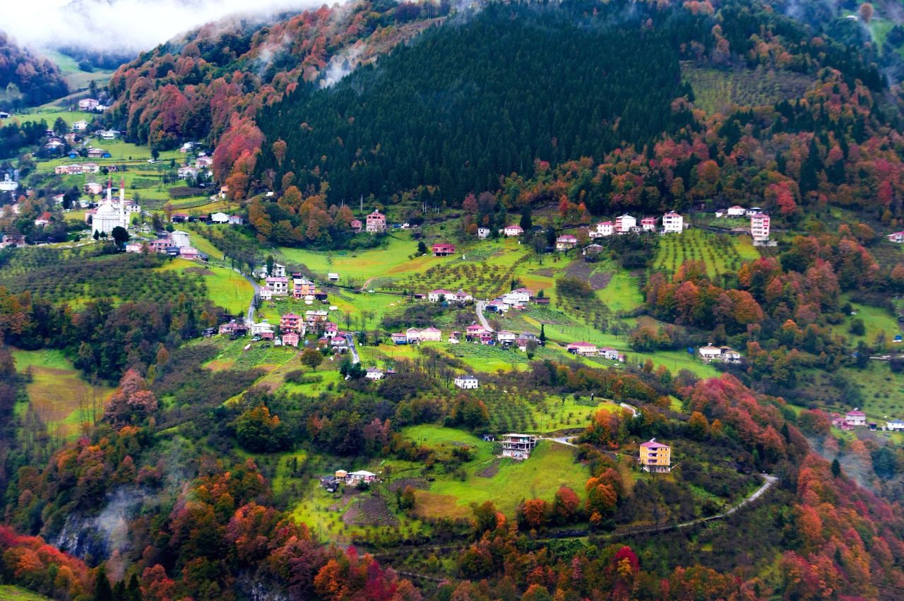
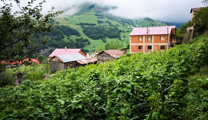
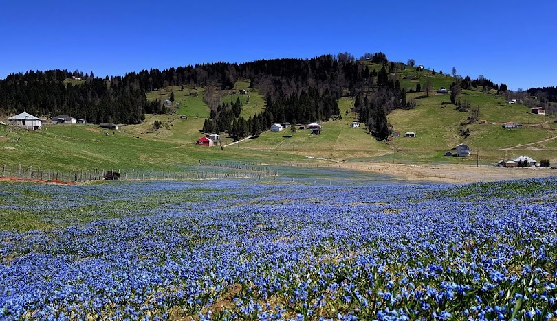
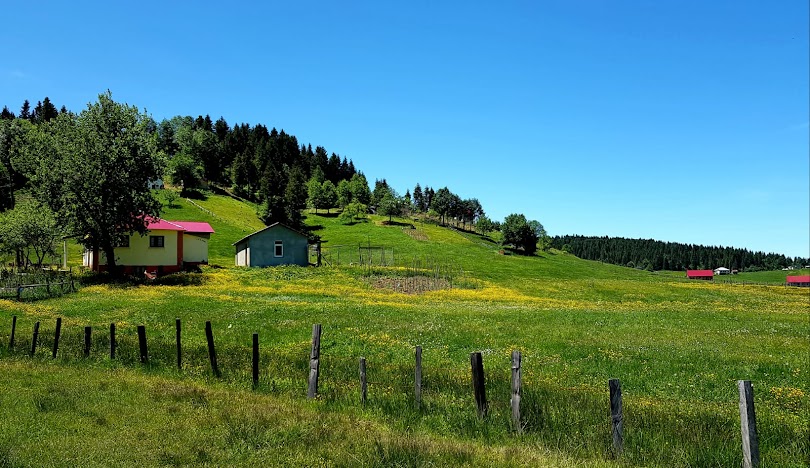
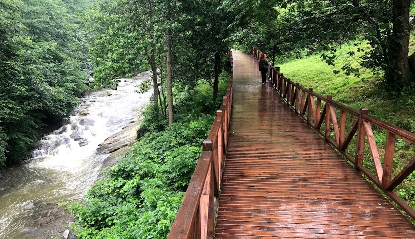
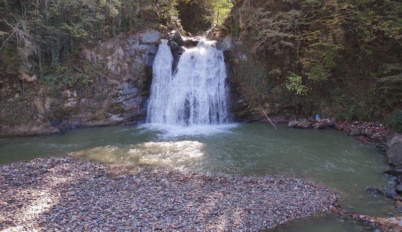
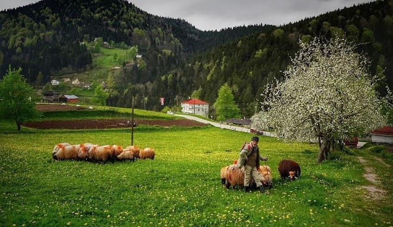
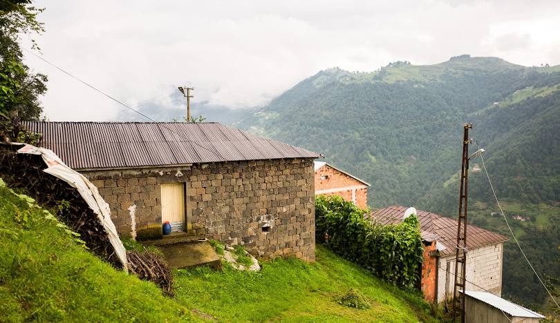
Tonya (Roman: Τόνια, Tónya) is a district of Trabzon province. Tonya District is surrounded by Düzköy and Maçka from the east, Gümüşhane Province from the south, and Vakfıkebir and Şalpazarı districts from the north and west. It is a district of Trabzon province that does not have a coastline. Its altitude above sea level is 755 meters. The terrain is generally rugged. Although there are no high mountain ranges, the existing hills extend from north to south. Fol Creek and Çamlık Creek Valley, located between these extensions, remain within the borders of Tonya. The district center was established in the Fol Creek Valley. This view from Sel Oba and Akkese Plateaus to Tonya Kalınçam Valley provides information about the vegetation and topography. The highest peak of Tonya is Karakısrak hill with an altitude of 1900 m. There are no large rivers or lakes within the district borders. The most important river is Fol Creek. Fol Stream originates from Erikbeli Hill within the borders of Kürtün District, south of Tonya. Canik Waterfall on Fol Creek is a nature park accessible by a small hike from Tonya. After passing the Tonya lands towards the north, it flows into the Black Sea from the center of Vakfıkebir District. The second important river is Çamlık Creek, which takes its source from Toksar Hill and flows into the sea from Beşikdüzü District. The regime of the rivers is not regular. In spring, the amount of water increases as the snow melts. It decreases in summer. However, the rivers mentioned above have never been seen to dry up.


Leave Your Comments