Tutak
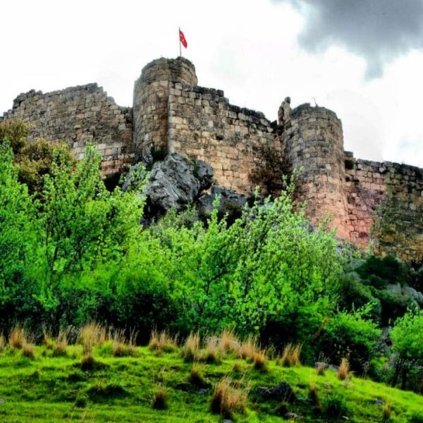
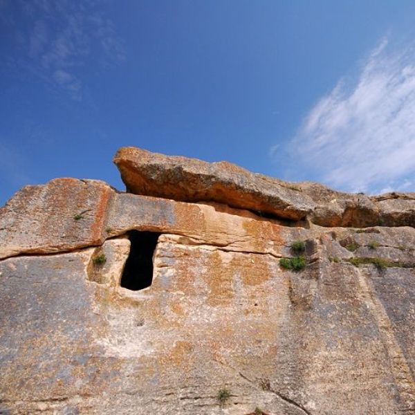
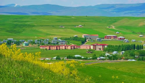
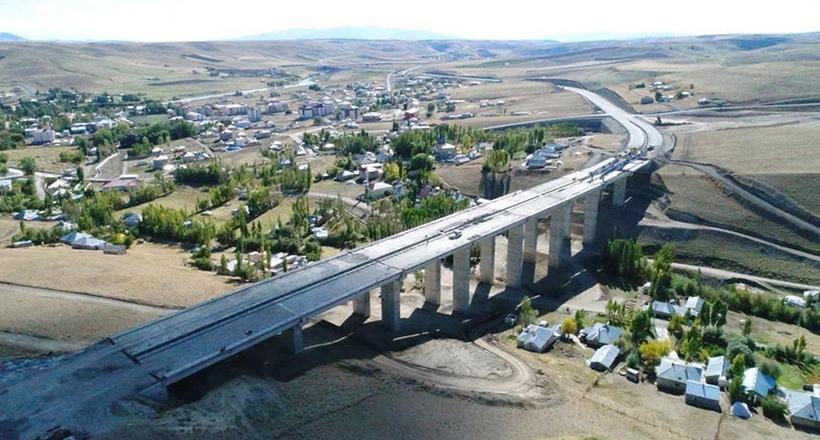
Tutak is a typical Anatolian district of Ağrı Province, located in the upper Murat section of the Eastern Anatolia region. While it was affiliated with the Beyazıt Sanjak of the Van Province during the Ottoman Empire, it was given district status in 1919 and was annexed to the Province of Ağrı in 1927, with its center being Karaköse. Information obtained about the history of the region dates back to B.C. It dates back to the 15th century. In these years, the region constituted the northeastern end of the Hurri-Mitani Kingdom; It is seen that the main sovereignty is in the Urartians. There are three different claims about where the name Tutak comes from. The first of these is that it was taken from Persian and meant two, and later this expression was changed to Tutak. The second is the claim that it is called Tutak, meaning the place held by the Turks who first came to the region. The third is the claim that the district is called Tutak because of Tutak Bey, who was one of the commanders of Alparslan's army and stayed in this region. The region, which was occupied by the Russians during the First World War, was liberated from the occupation with the withdrawal of the Russians in 1918, while local resistance continued. The area of our district, which is 1535 meters above sea level, is 1562 km2. is. The soil of the region has a high plateau character and is quite rugged. Winters are long and harsh, and summers are dry. Murat River, one of the two important branches of the Euphrates, passes through the center of our district. Apart from Murat, which covers the territory of our district from northeast to southwest direction, there are large and small rivers such as Arabalı, Esmer, Atabindi, Karahalit and Çelebaşı streams. The north of our district is surrounded by Kılıçgedik and Rutan mountains. There are Aladağlar in the east, Katevin mountains in the south and southwest, and Elmalı in the west (on our border with Karayazı). There is no forest in our region, and no scientific research has been conducted on underground riches. Hold; It is surrounded by Eleşkirt in the north, Hamur in the east, Malazgirt in the southwest, Karayazı in the west, and Patnos in the south. In general, the district's economy is based on agriculture and trade. There is not much industrial activity in the industrial sector, except for 2 bread factories, 3 flour mills and 2 briquette workshops. The basis of the district's economy is animal husbandry and agricultural activities that support animal husbandry. Apart from this, large and small commercial establishments located in the district center form the general character of the district economy. A large part of the district center population is engaged in agriculture and animal husbandry. Some of them earn their living by being tradesmen, craftsmen, merchants and civil servants. There are no industrial establishments that will provide employment opportunities in our district. There is no initiative by either the official or private sector in this regard. The entire population living in the villages is engaged in agriculture and animal husbandry. It is known that madrasah education was provided using the old letters in the district until 1928, and new letters began to be taught in night schools in 1929. Since our district is on the Ağrı - Van highway, transportation is always available. Tutak is 40 kilometers from Ağrı, 28 kilometers from Hamur, 39 kilometers from Patnos, 66 kilometers from Karayazı and 70 kilometers from Eleşkirt. The total population of our district is 34,332 according to the 2000 general census results. 6,751 of this population live in the district center and 27,845 live in the villages. According to this situation, 80% of the total population is in the villages and 20% is in the district center. There are 185 commercial workplaces in the district center. The rest of the district's population, who earn their living as tradesmen, merchants and civil servants, is also engaged in agriculture and animal husbandry.


Leave Your Comments