Uğurludağ
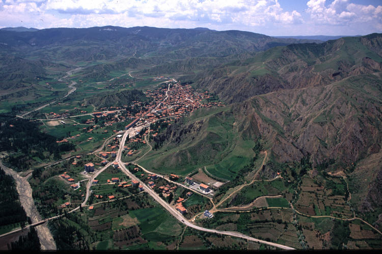
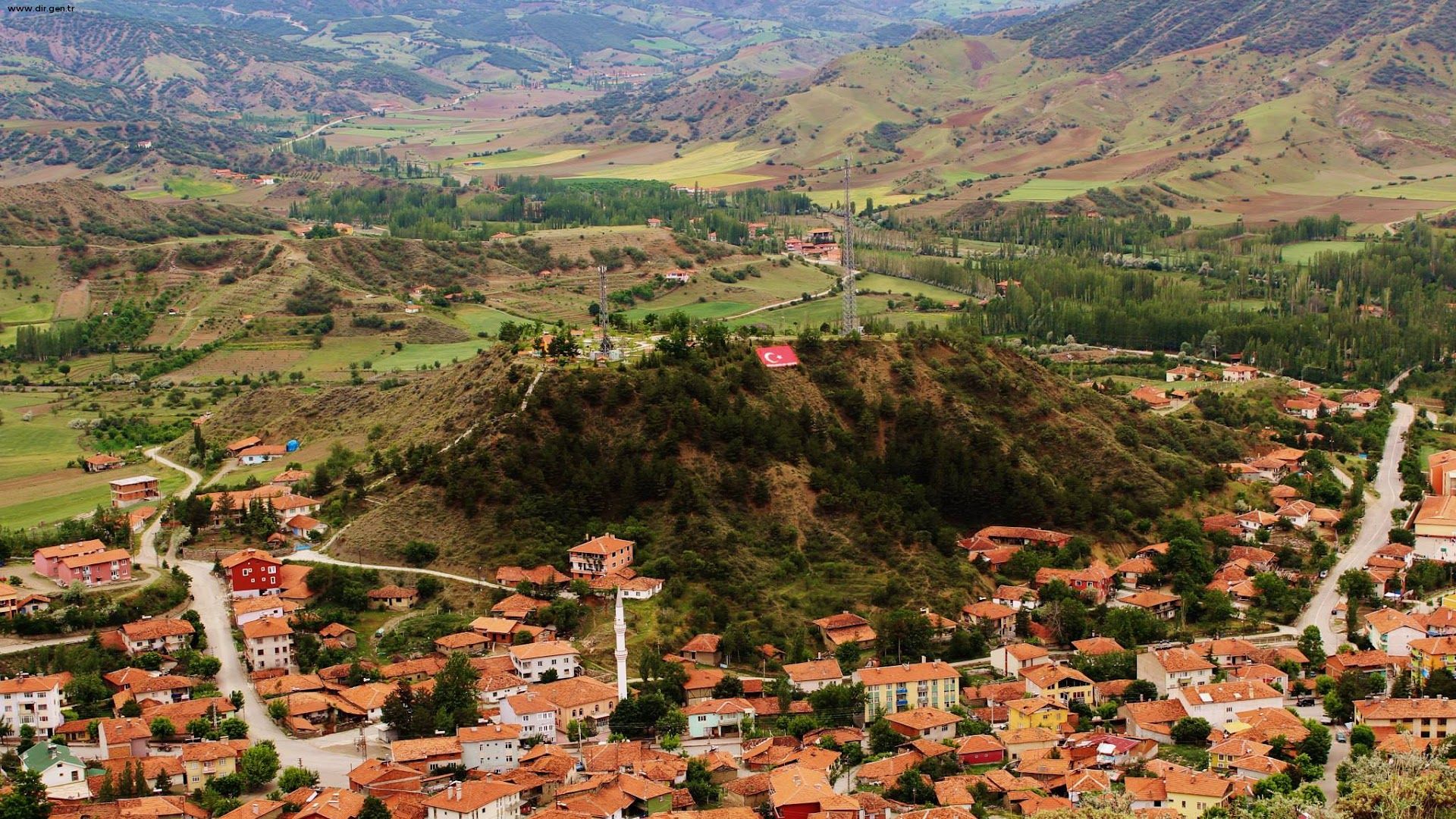
ğurludağ is a district of Çorum province. The first name of Uğurludağ is Kızılören. While Kızılören was a village connected to İskilip until 1929, it was made a township and connected to İskilip again due to its population. In 1954, it was named Uğurludağ after the Urlu Mountain behind it, and it became a municipality in 1969 and an independent district with the establishment of a district in 1987. The distance to Çorum Province is 66 km. The climate of Central Anatolia and the inner parts of the Central Black Sea region is dominant in the district. There are pine forests and wild hazelnut trees can be seen in these forests. Summers are hot and dry, winters are cold and rainy. The average annual rainfall is 4500mm. Snowfall is low in winter. The settlements of the 4000-year-old Hatti Civilization are located within the district borders. The district's economy is based on agriculture and trade. Of the district area of 37,458 hectares, 19,163 hectares consist of agricultural areas. Major agricultural products are wheat, barley, lentils, chickpeas, sunflower, sugar beet, onion and rice. There are 8,050 cattle and 8,970 small cattle in the district. Drinking water in the District Center is supplied from springs and underground wells, and in the months when the years are very dry, there is a shortage of drinking water, even a little, and the Municipality has been trying to find sources that will meet the drinking water supply for many years. Nearly 70% of the central district's lands are irrigated by 5 underground boreholes and 2 underground irrigation water galleries. The total road length is 154 km, of which 33 km is broken asphalt in 7 villages of the district, 104 km of 12 villages are stabilized, and 1 unit is 17 km leveled.


Leave Your Comments