Yeşilhisar
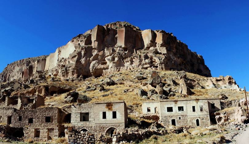
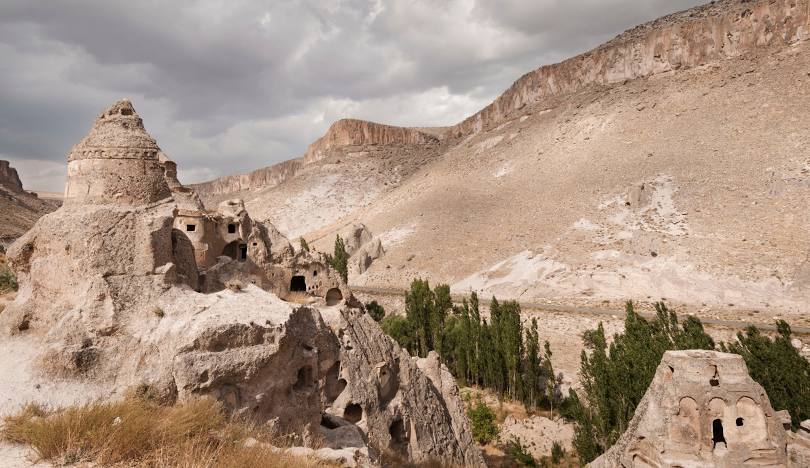
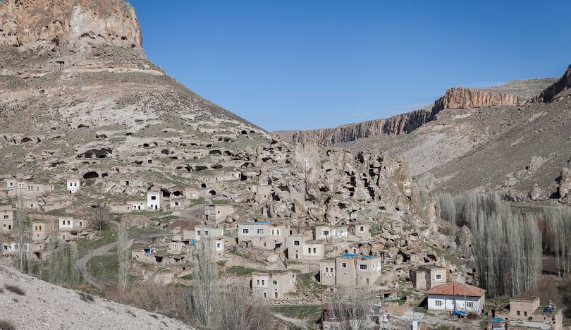
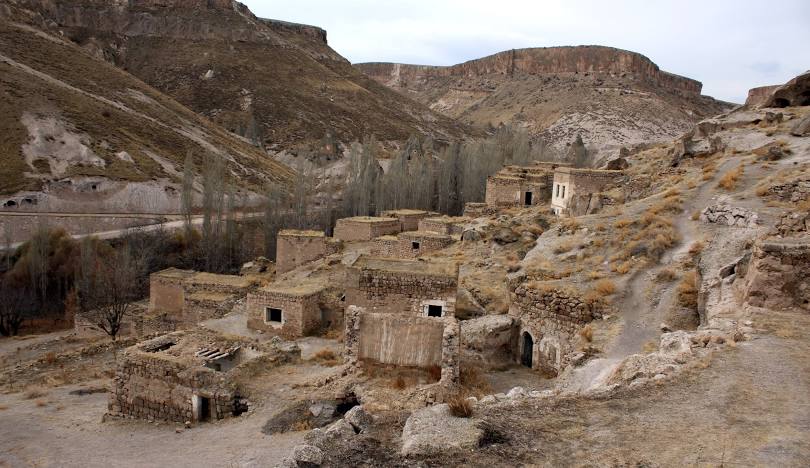
Yeşilhisar, formerly Develi Karahisar, is a district of Kayseri. It is 60 km from Kayseri and 65 km from Niğde. Ottoman sultan III. Yeşilhisar, which was connected to the Niğde Sanjak of Karaman by Mustafa, was transferred to Kayseri as a township in 1858, and became a settlement within the İncesu district in 1902. It became a district on June 11, 1947. The town, which was known as Develi Karahisar for many years, took its current name in 1945 due to the similarity of names with the Develi district. Although the establishment of the district is not known for certain, first the Hittites and then the Persians came under the command of Alexander in 3500 BC. In 317 BC, this region came under the rule of the Roman Empire. Kbistra or Siyiera, mentioned among the eight largest cities of the Cappadocia region, is today's Yeşilhisar. Kbistra, which came under the rule of Iran in 256 BC and then again by the Byzantine Empire, fell into Muslim hands for the first time with the conquest of Battal Gazi in 672. Over time, Yeşilhisar came under the rule of the Abbasids, Danishmends, and in 1114, the Seljuks, Ilkhanids, and Karamanoğulları. Yeşilhisar came under the rule of the Ottomans during the time of Yıldırım Bayezid. Fatih Sultan Mehmet assigned Koçi Bey to the conquest of Yeşilhisar. The district is 1100 meters above sea level and covers an area of 986 km². The district was founded on the western edge of the wide Develi Plain, on the foothills of Karadağ extending to the east. The distance to the city center is 65 km. It borders Develi District in the east of the district, Niğde and Ürgüp districts in the west, İncesu district in the north and Niğde province in the south. The district has a continental climate, with hot and dry summers and cold and snowy winters. Rain falls extremely little. There is no forest in the district. There are sufficient fruit trees.


Leave Your Comments